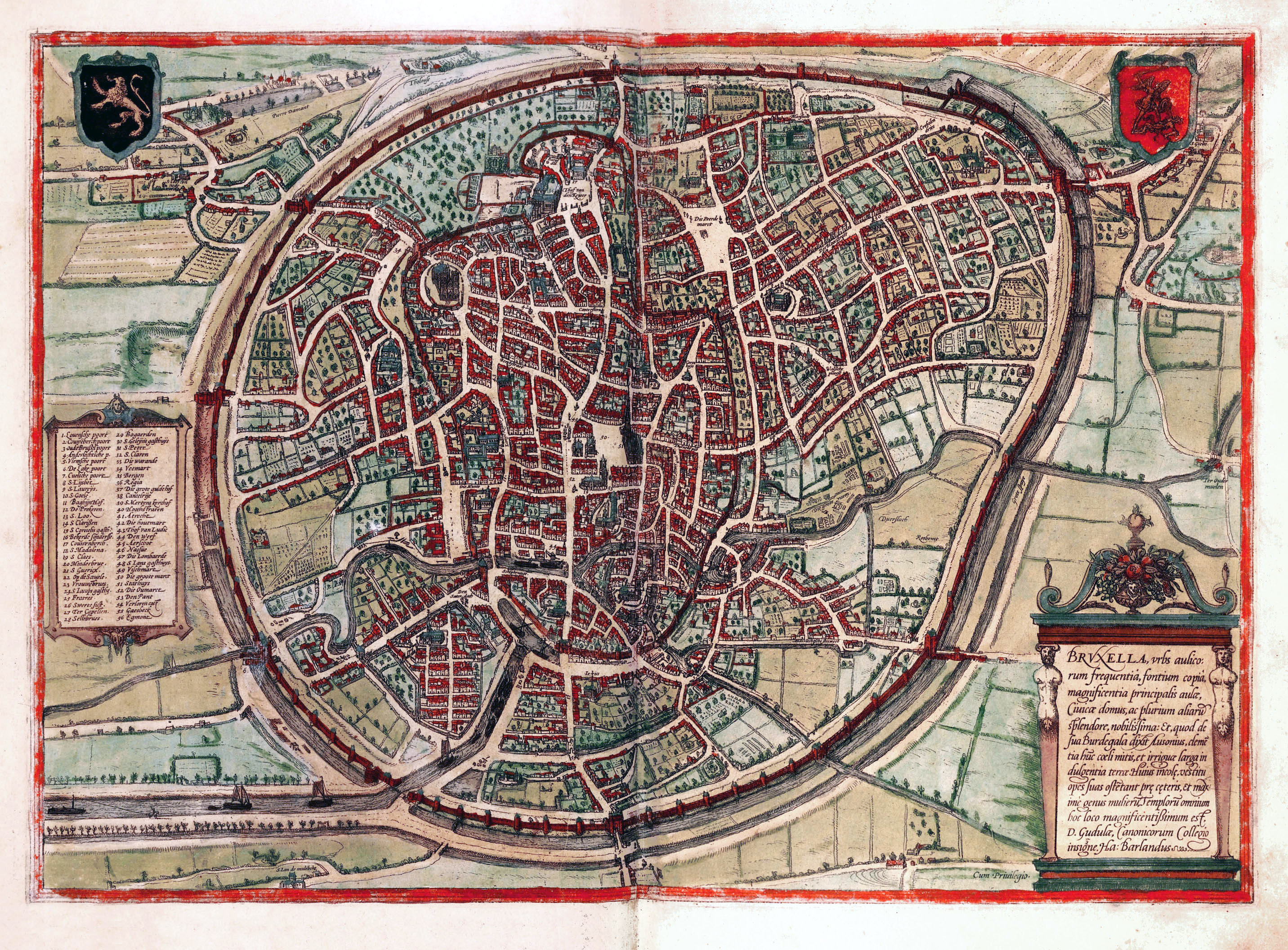
Map of Brussels, 1500s
Item
- Title
- Map of Brussels, 1500s
- Description
- Map of Brussels, 1500—Courtesy the Hebrew University of Jerusalem and the Jewish National & University Library—Vesalius’s family lived in the south eastern quadrant between the old wall and the newer outer wall surrounding the city.
- Alternative Title
- Map of Brussels in the 14th Century showing the city from above with two walls an inner and outer protecting the city.
- Site pages
- BIOGRAPHY
Position: 4 (759 views)