Using Geospatial Data to Inform Change
By Amy Koshoffer
When trying to understand the complexity of our modern society, looking through a geospatial lens can give more insight and lead to possible solutions for complicated challenges such as poverty, healthcare disparities, systemic racism and climate change. This means we need to examine the “where” as an attribute when we want to bring about changes that matter. We can address questions that include where do people live in relation to industry, healthcare facilities, green spaces and other resources as well as where they live relative to risks such as sea level rise. Combining location with population demographics can help us delve into these issues to understand if issues impact one group of our society more than another.
Esri is the industry leader for Geographic Information Software and has resources such as data with spatial attributes and tools that help us address our society’s most challenging issues. Esri has made significant changes to their higher education support which greatly improves our ability to explore research questions through the geospatial lens. Below are some of the tools we have access to here at UC as well as information about the new updates:
Platforms and Applications
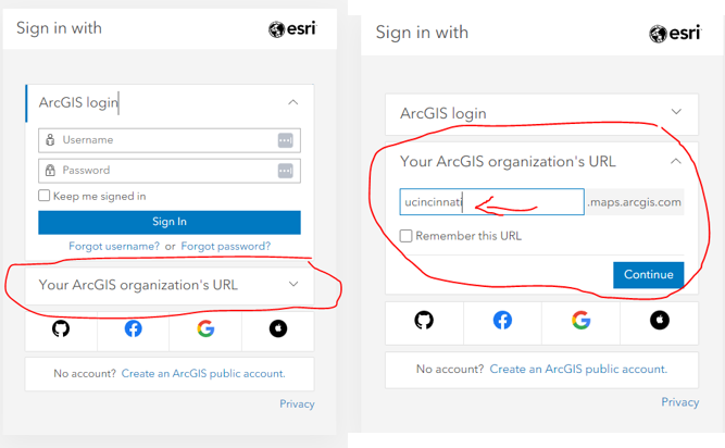
ArcGIS Online – https://www.arcgis.com/index.html
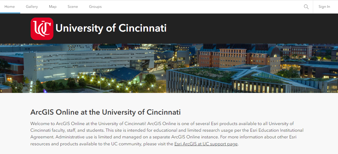
ArcGIS Online or AGOL for short is the portal to many GIS resources. If you are looking to create quick maps, do light spatial data analysis, or geocode a few locations, then this resource will help you accomplish much of what you are looking to do. It is also how you can access many other Esri resources we have access to through UC’s site license. There is a new UC organization which will be the main landing site for UC resources including free access to ArcGIS Pro. The new URL is https://ucincinnati.maps.arcgis.com and you can access the UC resources with your UC login or UC Credentials. If you have questions, you can email askgis@uc.edu and a support team member will get in touch.
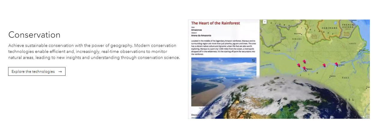
Esri’s StoryMaps – https://storymaps.arcgis.com/
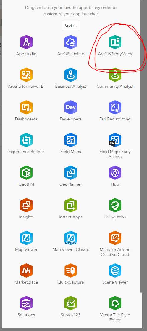
Esri’s StoryMaps is one of the applications available through ArcGIS Online. This platform brings together images, text, interactive functions, and maps to tell stories, especially stories where geospatial attributes deepen the narrative. The platform makes it very easy to pull together the various media types and share the resulting storymap with a wide audience.
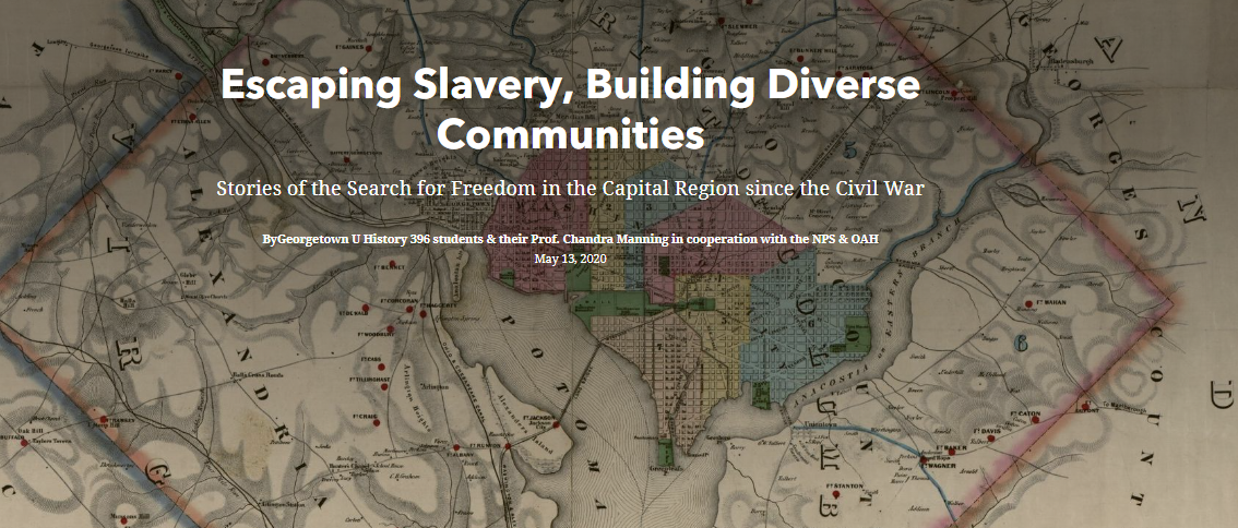
https://storymaps.arcgis.com/stories/98843655e3474b9ab19a2afe250f0f22
Data Sets and Maps
Esri offers several curated collections of maps and datasets that researchers can incorporate into their projects.
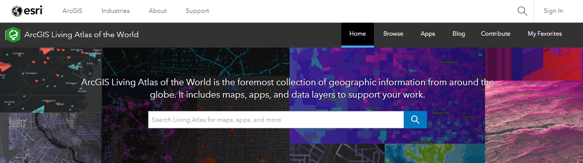
Living Atlas – https://livingatlas.arcgis.com/en/home/
The Living Atlas is a collection of geospatial information that contents many format types such as 2759 maps as well as data layers, tools and other resources.
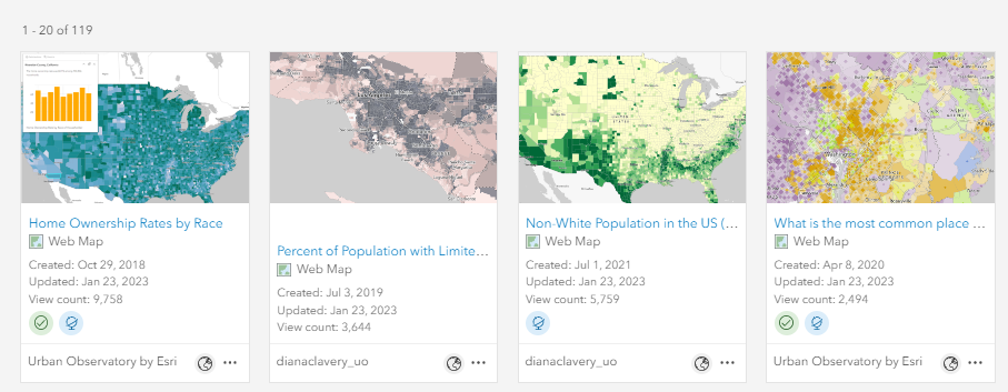
Esri Racial Equity Hub – https://gis-for-racialequity.hub.arcgis.com/
This curated collections focuses on geospatial information that address racial equity research questions. As of this month, there are 119 data sets in the Racial Equity Hub that researchers can use in their storymaps or other projects. They cover topics such as climate and environment, elections, housing, language and other topics.
Esri Climate Change Resources – https://www.esri.com/en-us/about/climate-change/resources
This curated set of resources focuses on geospatial information about climate change particular in the areas of resilience and adaptation, planning for climate change, weather and climate science, and conservation.
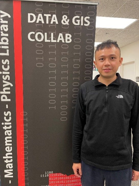
Still Looking for the Right Data Set
If you do not find what you need or have a data set that you want to make into a map and need some help, you can reach out to the Research and Data Services team at ASKDATA@UC.EDU or visit the Data & GIS Collab located in the Geology Math and Physics Library in Braunstein Hall. Our GIS Research Consultant, Xin Gu is available via appointment or walk in on Tuesday, Wednesday or Thursday from 10:30 am to 4:30 pm.