
By Janice Schulz
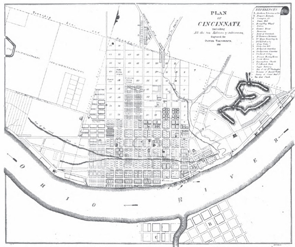
Cincinnati in 1819 from “Centennial History of Cincinnati,” 1904
The Archives & Rare Books Library holds a unique collection of local government records vital to the understanding of Cincinnati’s growth from a small walking city into the expansive metropolitan area that exists today. Acquired in 1996 from the Cincinnati Clerk of Council and through the Ohio Network of American History Research Centers program, the Cincinnati Annexation Collection includes annexation records generated by the City and the villages from 1869 to 1939 as well as former village records acquired by Cincinnati at the time of annexation, some dating back to 1829. These records are an excellent resource for researching the history of Cincinnati’s neighborhoods.
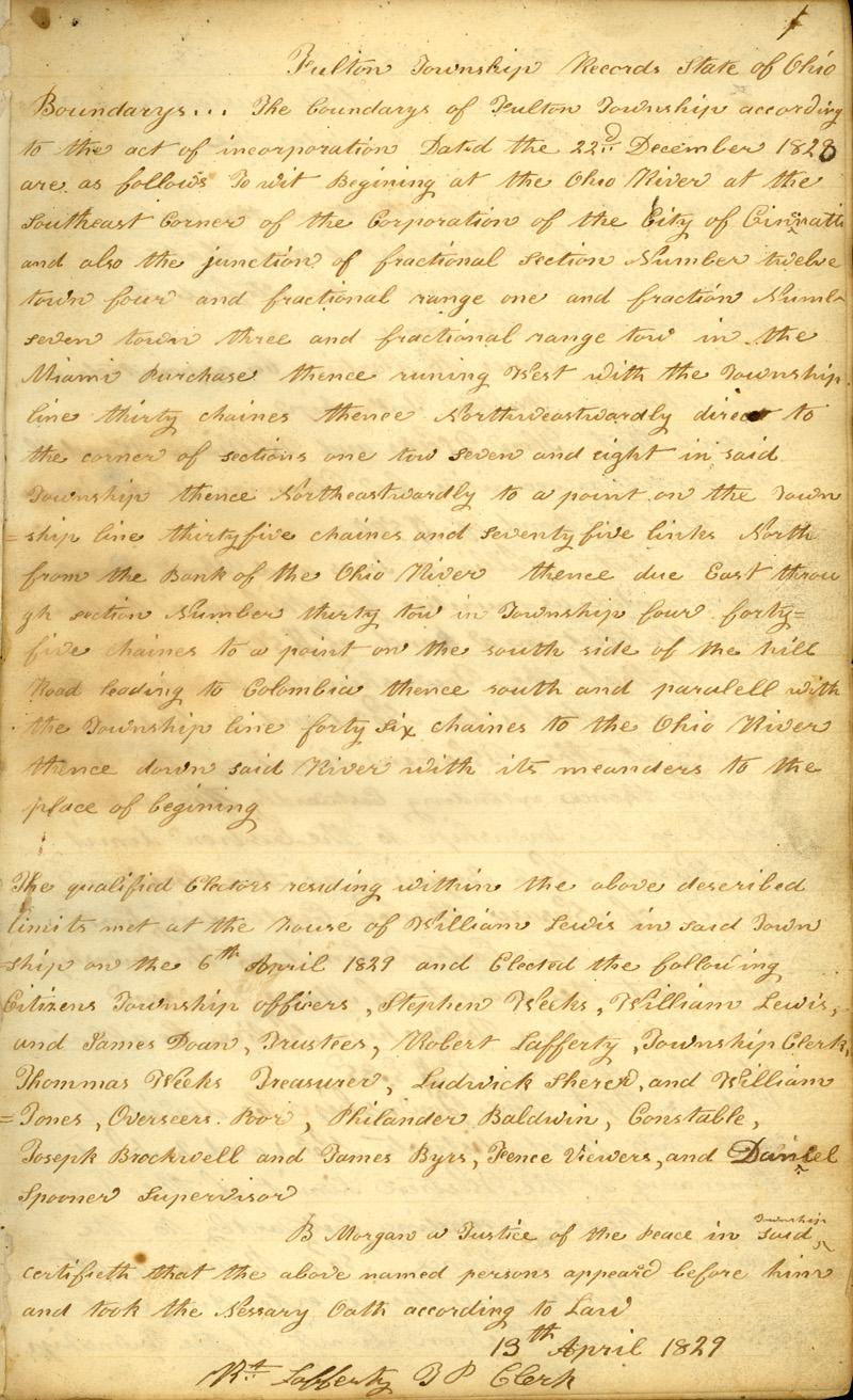
Minutes of Fulton Township, April 13, 1829
When Cincinnati was incorporated as a city in 1819, it encompassed an area of approximately four square miles, extending from the Ohio River on the south and east, to Liberty Street on the north and the Mill Creek on the west. While the boundaries remained unchanged by 1840, population and industry grew exponentially in those two decades as the population in that small area swelled to nearly five times the 1820 number of 9,642 people to 46,338 people in 1840.* Meanwhile, the heart of the walking city, where people lived, worked, and socialized all in the same space, became increasingly more commercial and industrial, and subsequently polluted, creating unsuitable living conditions. Cincinnati’s strategic location on the banks of the Ohio River was a huge contributor to the population growth but it provided a negative impact on the city’s ability to expand physically. Cincinnati was not the only incorporated area in Hamilton County at the time; it was basically landlocked, with neighbors to its west (Price Hill) and its north (Millcreek Township and Fulton). Since the Ohio River and the Kentucky border prevented expansion to the south, it became obvious that in order for the City to grow and for the citizens and businesses to get relief from the overcrowded, unhealthy environment, Cincinnati had to spread out into the neighboring areas.
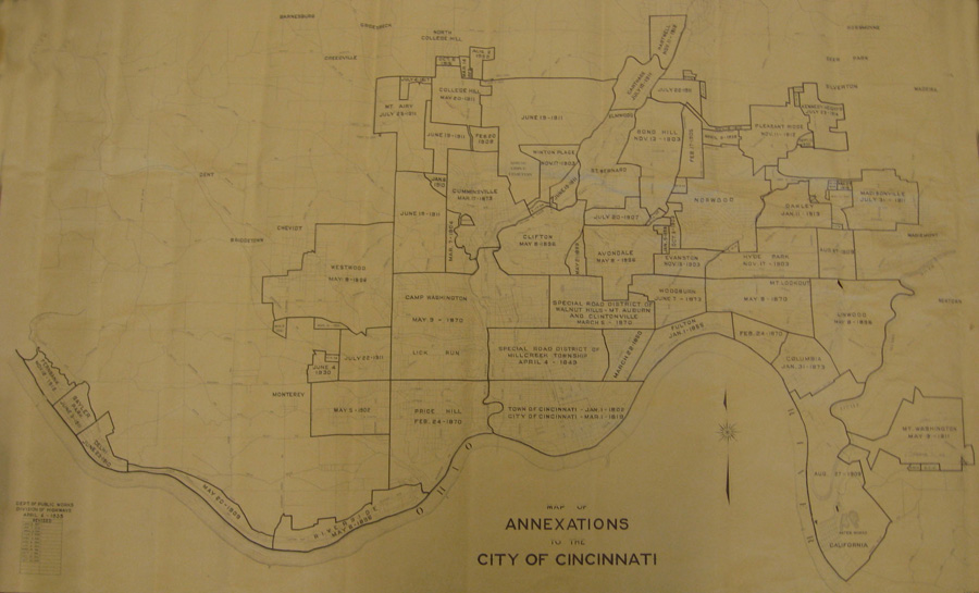
Cincinnati City Council first looked north for their desired new territory, to the southern district of Millcreek Township and Fulton, an expanse that included land within the boundaries of the present day Over-the-Rhine, Mt. Auburn, and Walnut Hills neighborhoods from Liberty Street up to McMillan Street, as well as part of the East End bordering the river reaching almost to Delta Avenue. The annexation of these first areas began in 1849 and was completed by January 1, 1855, increasing the City’s area to approximately eight square miles. The next project was much more aggressive, expanding Cincinnati into the areas of Price Hill, Camp Washington, Walnut Hills, Mt Auburn, Woodburn, Mt. Lookout and Columbia and snaking down the banks of the Ohio River, adding another seventeen square miles by 1873.
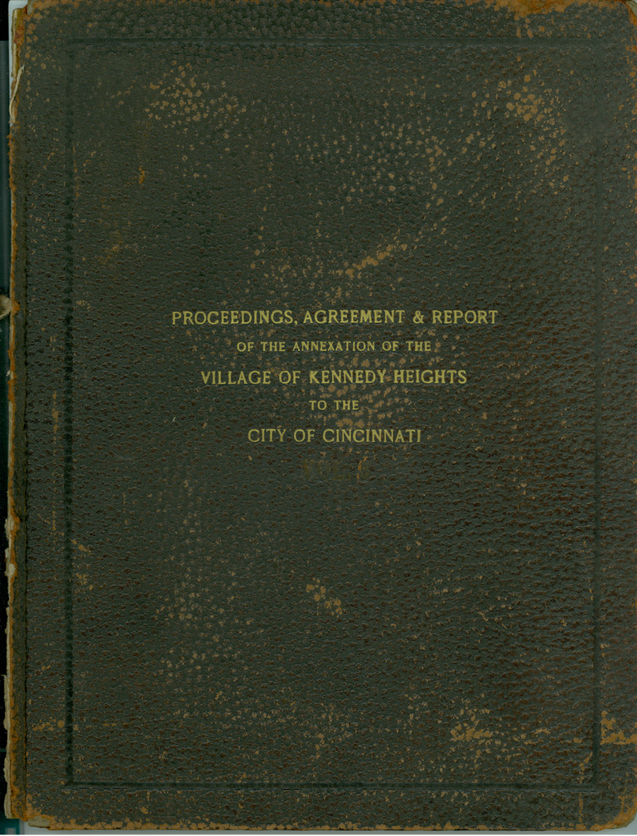
Annexation Proceedings, Agreement & Report for the Village of Kennedy Heights, 1914
By 1890, Cincinnati consisted of approximately twenty-five square miles and had a population of 296,908. Cincinnati was now faced with another issue – the loss of wealthy residents that had previously resided within the city limits. Advancements in transportation had allowed those with means to flee the city’s basin and settle in suburban areas, such as Clifton and Avondale, causing Cincinnati to lose a good chunk of its income. Again the City solved its problems with annexation, taking on another aggressive project in 1895 to acquire Clifton, Avondale, Linwood, Riverside, and Westwood. More major acquisitions happened in 1903, and 1911. The last village annexed was Kennedy Heights on July 23, 1914, by which time Cincinnati sat on a total area of just over seventy square miles created through the annexation of fifty-five districts. Norwood and St. Bernard remain the holdouts, both independent cities locked within the boundaries of Cincinnati. While the number of annexations remained steady in the following decades, the amount of property annexed was limited to slivers of land adjacent to that already owned by the City. Today the total land area of Cincinnati is seventy-seven square miles and the population is 333,012 (2009 estimation). **
 The collection of annexation records held by ARB is accessioned as number ON-96-01 and consists of 235 volumes and six boxes of material. The annexation process created several types of documents, including resolutions and ordinances, petitions, reports of votes, maps, meeting minutes, notices, inventories and audits, and protests. When the city annexed a village or township, they also acquired historic records of those districts, which can include resolutions and ordinances, minutes, street improvements, board records, and financials. Additionally, this collection includes volumes from the Cincinnati Clerk of Council that are not annexation specific but that contain information during the time of the major annexations. A complete inventory can be found on ARB’s Ohio Network webpage.
___________________________________________________________________________________________
* Unless otherwise noted, population statistics are from the U.S. Bureau of the Census. Area statistics are from records of the former Cincinnati Department of Public Works, Division of Highways, now part of the Department of Transportation & Engineering.
** City of Cincinnati 2011/1012 Approved Biennial Budget: http://www.cincinnati-oh.gov/cmgr/downloads/cmgr_pdf42333.pdf (accessed May 16, 2011)
Statistics are from the Profile section: area pg. 700, pop. pg. 701