By: Angela Vanderbilt
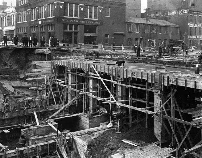
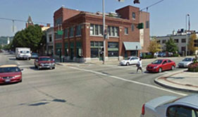
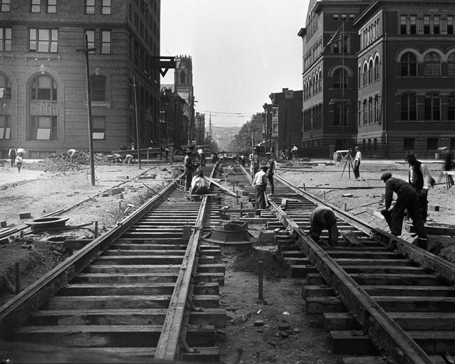
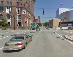
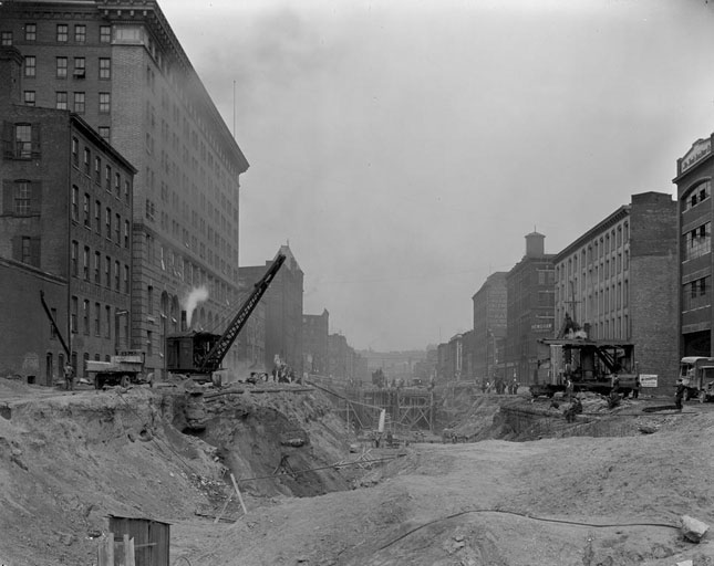
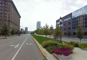
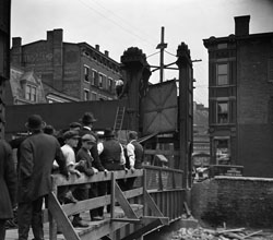
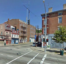
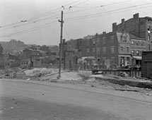
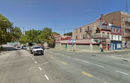
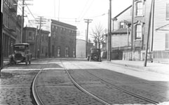
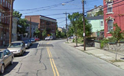
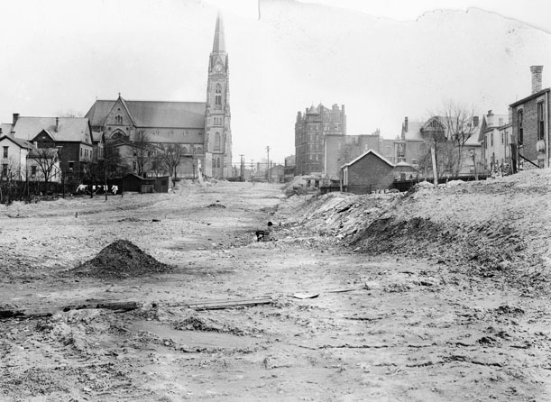
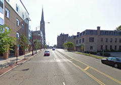
Reviewing the images of the subway construction has provided me with a great opportunity to learn the names of the streets and the different intersections around downtown Cincinnati that were major points along the subway route. As I learn to navigate my way around the city, driving from one location to another, I’m finding this very useful as I’m constantly recalling images and the navigational captions written on the negatives. By providing the street names and directional information for each image, the photographer gave us a map of 1920s Cincinnati. I thought it would be fun to show a “then and now” perspective of some of those streets and intersections, courtesy of Google maps, providing a snapshot of how much the city has grown and changed, starting with the removal of the canal in the 1920s.
The images shown here begin at Race Street and head west along Central Parkway, then make a turn at Plum Street to head north on Central Parkway past Mohawk Place (The building on the corner of Central and Mohawk Robin Imaging, the company digitizing the collection.), and north on McMicken Ave.
The last comparison I’ve provided, Madison Road at Woodburn, was part of a later street improvement project, the photographs of which are also part of the collection being digitized through the Library Services and Technology Act grant. More of those images to come!
This project is funded by a grant for $60,669 through the Library Services and Technology Act, administered by the State Library of Ohio.

