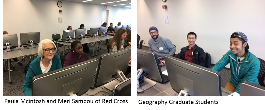
On November 4th, UC Libraries partnered with the Cincinnati-Dayton Region office of the Red Cross and the Geography Graduate Student Association (GGSA) to hold a Missing Maps mapathon.
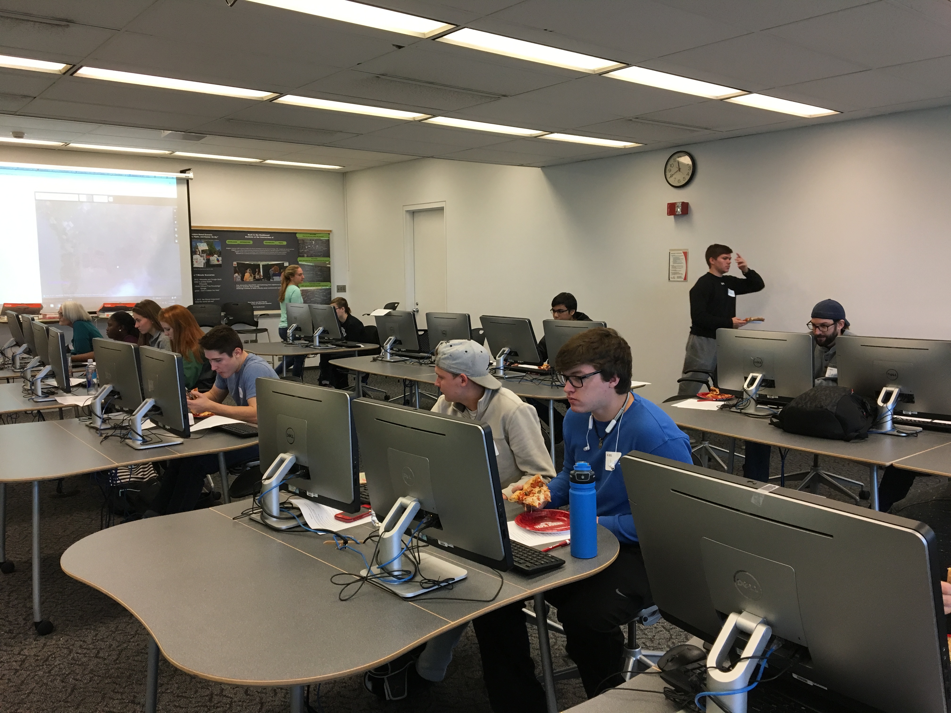
Students participating in mapathon
Twenty students, librarians and Red Cross members gathered at Langsam Library where Red Cross interns Michael Gladstone and Meri Sambou led the group through a brief training and explained the task assigned.
The goal of the mapathon is to identify structure markers in the area to help assist the Red Cross in emergency response efforts (from the mapathon instructions “The map data will help the Red Cross to better understand where people live in relation to potential hazards so that we can help them be prepared for the disaster and so national decision makers can make better decisions in the immediate aftermath of a disaster.”)
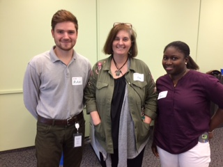
Michael Gladstone, Amy Koshoffer and Meri Sambou
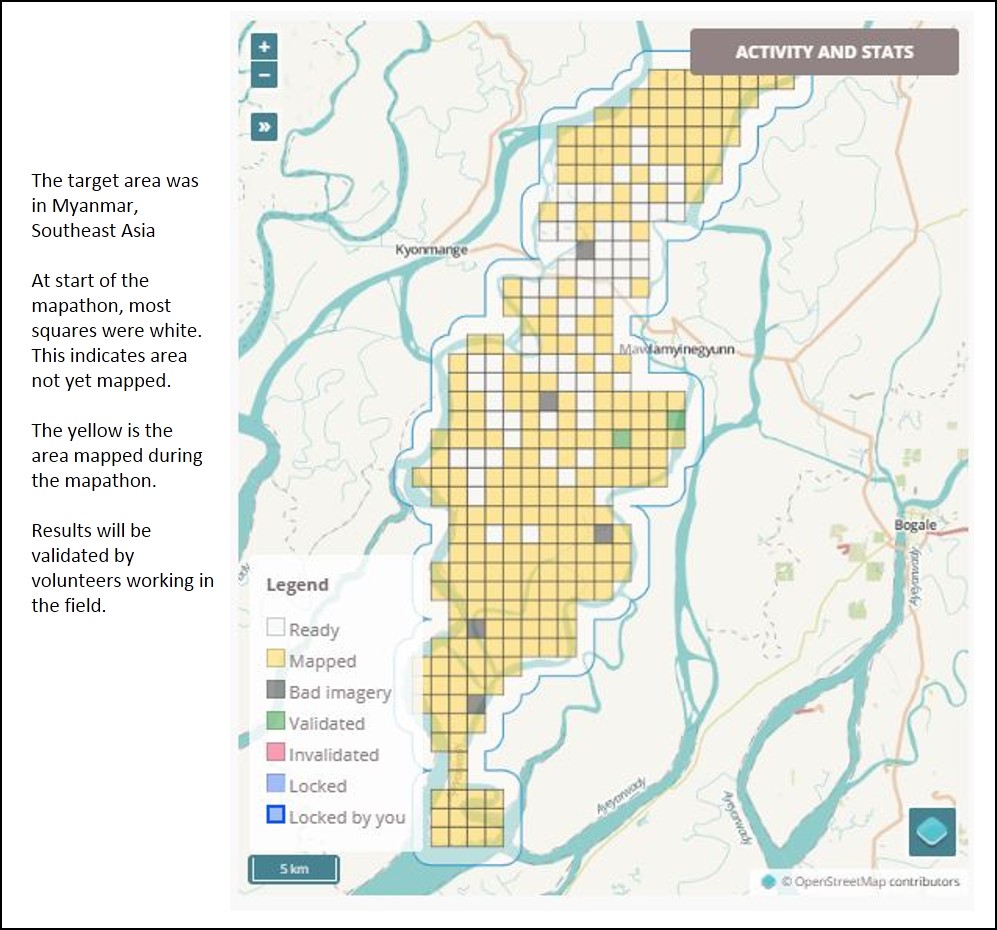
Using Open Street Maps, the volunteers spent four hours marking building locations in the target area.The Red Cross provided pizza and motivational music to keep spirits high and the mapping moving along.
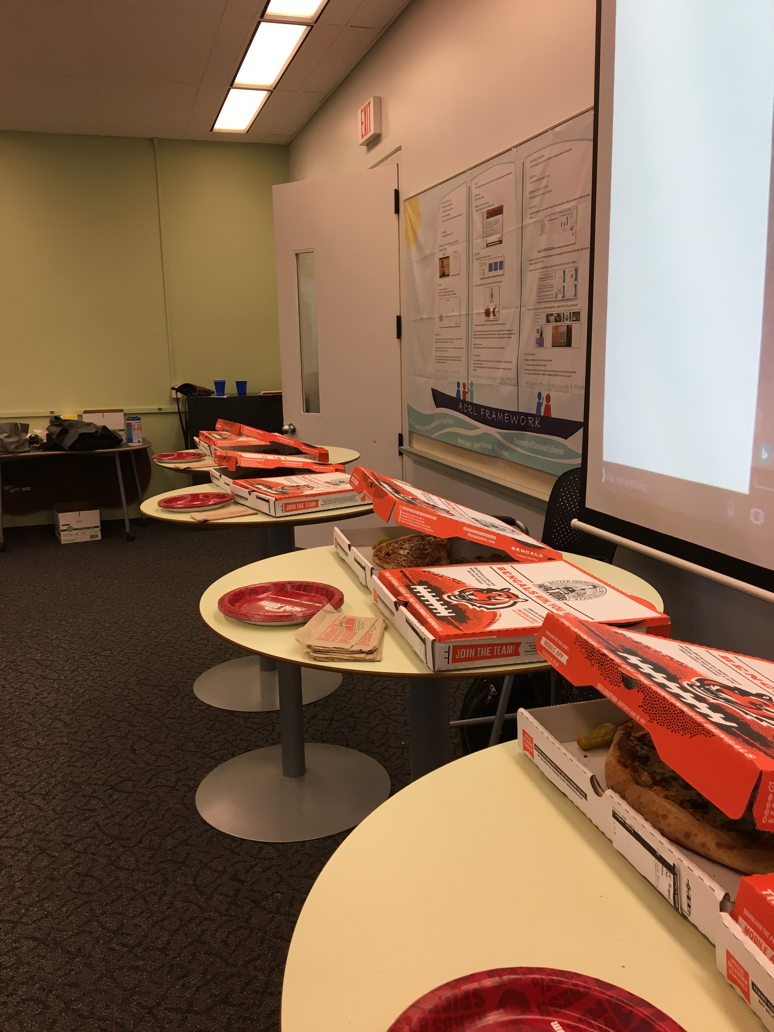
Lunch!!
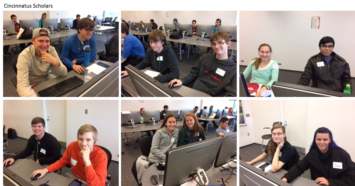
Many thanks to the student volunteers from the Cincinnatus scholarship program who came to help and to the GGSA who recruited student volunteers.