When you visit the Geology-Math-Physics (GMP) Library this fall, you may notice big space changes that are now in progress. As an early step to open up space, several map cases and cabinets that once lined the eastern and southern walls (entry level) have been moved to remote storage (UC Fishwick facility). Cases of maps for the Tri-state region (Ohio, Indiana, Kentucky), highly used for teaching and research, remain onsite and have been consolidated in the library’s southwest corner.
To access maps, we highly recommend that you seek a digital version of any map. One great resource for digital maps is the USGS, particularly for topographical maps. If you need help locating digital maps, email the libraries’ Research & Data Services team at askdata@uc.edu.
For more information on print maps, including those which remain at GMP Library and those which are now located in remote storage, please review our research guide page on the map collection. Please visit the GMP Library for assistance with any map located onsite. To request a map in remote storage, please complete this form and a member of the Science and Engineering Libraries team will contact you and help with your needs.
UC’s science libraries – GMP Library and Chemistry-Biology Library – are undergoing major space changes and consolidation in light of the demolition of Crosley Tower, including the Chemistry-Biology Library space, in late 2025. In preparation for this, the Chemistry-Biology Library will close after spring semester 2025 and its research collections will relocate to GMP Library over time. We look forward to realizing a long-term vision for a combined science library.
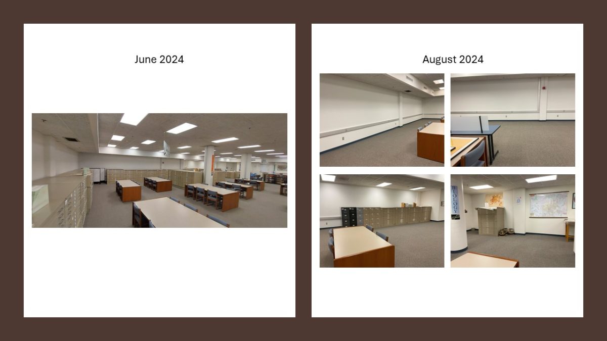
Thank you to Marcia Johnson for the June 2024 image.