Data Focus – Upcoming Workshop “Introduction to ArcGIS Online”

Do you want to know more about working with spatial data? Attend the upcoming workshop “Introduction to ArcGIS Online” on October 7 from 1:30 om to 3:00 pm. Registration and workshop details are available in Faculty Onestop. The workshop is free and open to any Bearcat who wants to learn more about the Ersi Platform ArcGIS Online, how to get an UC Esri account, and how to find data with spatial attributes.

Workshop description: This introductory in-person workshop introduces the fundamentals of web mapping and spatial analysis using ArcGIS Online. No previous GIS or ArcGIS experience is required. ArcGIS Online runs directly in a web browser and is available to participants with a UC login.

The workshop will begin with an introduction to GIS and spatial data, followed by a guided tour of the ArcGIS Online interface. Participants will learn how to sign in, navigate Map Viewer, find and add spatial data, work with map layers and attributes, change basemaps and symbology, and explore geographic patterns.

By the end of the workshop, participants will have experience creating and interpreting a web map in ArcGIS Online and will have a foundation for applying GIS tools to their own research or projects.

The workshop will be facilitated by Le Tu, Research and Data Services GIS research consultant. If you want to explore spatial data and GIS resources deeper after the workshop, Le is available for consultations. Visit the GIS Services lab in 412 Langsam.
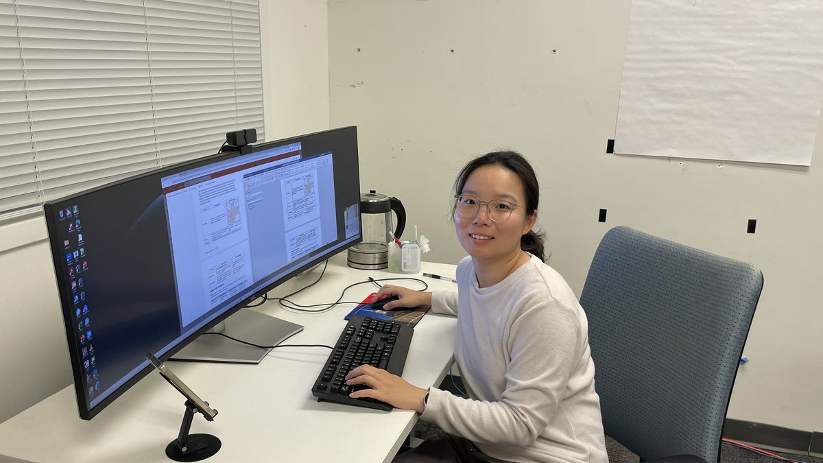
Woman at computer

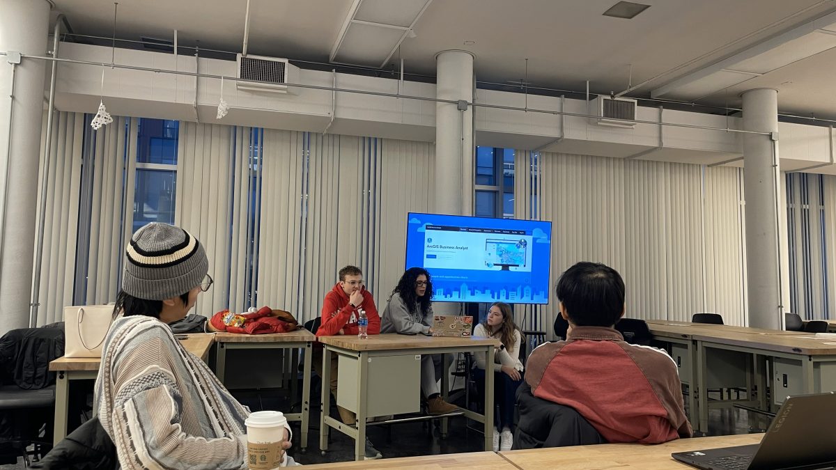
UC Libraries GIS Services attends the Urbanism Club Meeting

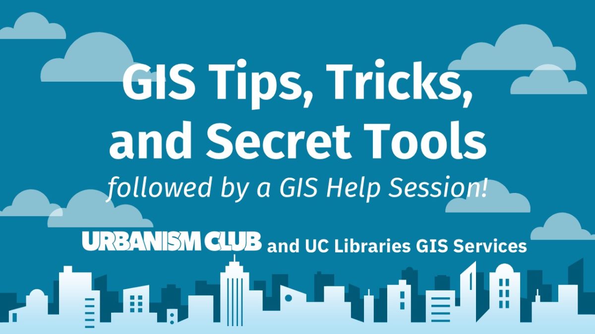
a slide from the introduction to GIS workshop offered by the urbanism club The title of the slide is GIS Tips, Tricks, and secret tools followed by a GIS help session.

The UC Libraries GIS research consultants attended the Urbanism Club in support of the club’s Introduction to GIS session. GIS stands for Geographic Information Systems and is the process of collecting, analyzing, and managing data with spatial attributes. Fenley Jones, Kayra Koprulu, and Jaclyn Mauro were great hosts and put on an incredibly informative session that covered access to software, how to increase your knowledge base through trainings, and how they personally use different tools. It was really great to see the various ways students are using GIS resources and how the club supports students who are interested in learning more about GIS. To find out more about the club, visit their campuslink page. And the club will be offering additional GIS sessions on March 9th and April 13th.

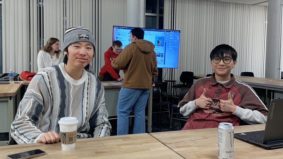
Weiye (in grey sweater) and Andrew Ho (in red shirt), UC Libraries GIS Research Consultants

The UC Libraries GIS services is available to help students and researchers plan GIS projects, access software, understand how create visualizations such as maps and analyze spatial data. The lab is located in 412 Langsam and is open in the spring during the following hours:

  • Mon 9:00 AM – 5:00 PM 
  • Tues 9:00 AM – 1:00 PM 
  • Wed 9:00 AM – 2:00 PM 
  • Thurs 9:00 AM – 1:00 PM 
  • Fri 9:00 AM – 2:00 PM 

Weiye Li (Left – Phd student – Geography & GIS) and Andrew Ho (Right – Undergraduate – Planning) look forward to meeting you and learning about your GIS interests.

UC Libraries GIS Services attends the Urbanism Club Meeting

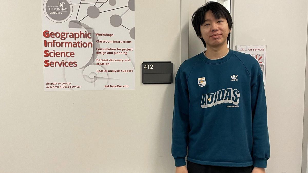
Welcome Weiye Li, GIS Research Consultant for Research and Data Services

Welcome Weiye Li, GIS Research Consultant for Research and Data Services

Weiye is a PhD candidate in Geography at the University of Cincinnati. Originally from Shenzhen, China, he earned both his bachelor’s and master’s degrees in Land Resource Management at China University of Geosciences.

His research focuses on geospatial data science, socio-environmental sustainability, and health geography, with a particular interest in applying advanced modeling and algorithms to understand human–environment interactions. He has contributed to several projects including land management, nature-based climate solutions, and urban perception analysis using street-view imagery, and has presented his work at academic conferences such as the American Association of Geographers (AAG) annual meeting.

As a GIS Collab consultant, Weiye looks forward to supporting others while continuing to expand his analytical toolkit in GIS-related analysis. He can share information, offer advice, and even partner on certain projects (on a case by case basis).

The Data & GIS collab is located in 412 Langsam with the hours of

Monday 9:00 am – 5:00 pm

Tuesday: 9:00 am – 1:00 pm

Wednesday: 9:00 am – 2:00 pm

Thursday: 9:00 am – 1:00 pm

Friday: 9:00 am – 2:00 pm

Welcome Debao Chen, GIS research consultant for Research and Data Services

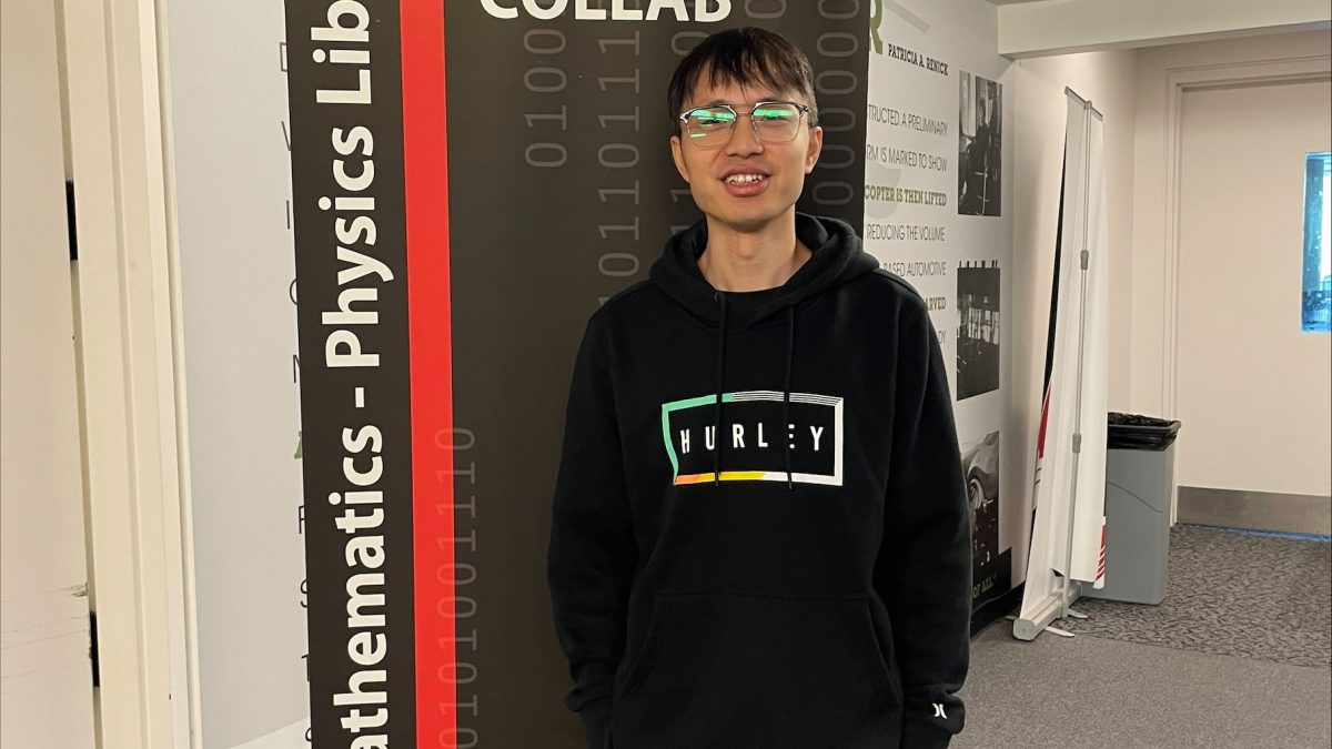
UC Libraries welcomes Debal Chen, PhD student in Geography & GIS as our new GIS research consultant.

Welcome Debao Chen, GIS research consultant for Research and Data Services

Debao is a PhD candidate in Geography at the University of Cincinnati. Originally from Hunan province, China, he earned his master’s degree in Human Geography from Guangzhou University. His research focuses on crime geography and spatial analysis of crime, with particular interests in the dynamics between gentrification, Google Street View imagery, and the life cycles of urban retail stores.

Also, Debao has published in several peer-reviewed journals, including Computers, Environment and Urban Systems, Applied Geography, and Humanities and Social Sciences Communications. As a GIS Collab consultant, he looks forward to supporting others while continuing to expand his analytical toolkit in GIS-related analysis.

Check out his ORCID and Google Scholar profiles

The Data & GIS collab is now located in 460 Langsam due to renovations in the new Science Library.

Debao’s hours will be

  • Tuesday 11 am – 4 pm
  • Wednesday 11 am – 4 pm
  • Thursday 11 am – 4 pm

Welcome to the New GIS Research Consultants

The Data and GIS Collab is pleased to welcome two new research consultants. 

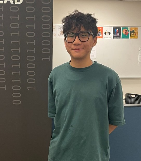
Andrew Ho, GIS research consultant

Andrew is a current student pursuing a Bachelor of Urban Planning at DAAP. Andrew was born and raised in Ho Chi Minh City, or more commonly called as Saigon, in the tropical land of Vietnam. There, a vibrant fusion of French and East Asian architecture created a facade against the tree-lined boulevards, where modern skyscrapers clashed against centuries-old landmarks. That is also where he developed a loving passion for the urban environment.

Andrew previously worked as an intern at the Department of Planning and Architecture at Ho Chi Minh City, Vietnam. Along with planning and design, he got hands-on experience with GIS by working on research with logistical models and transportation networks. He hopes to continually enhance his skills while also helping others with GIS.

Andrew is in the Lab until December 2024 and will return in summer 2025 after his co-op.

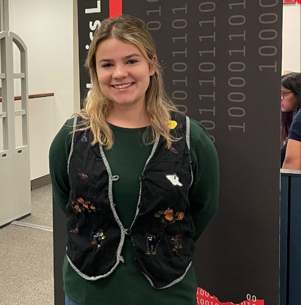
Jenna Suhltz, GIS research consultant

Jenna Shultz is a 4th year Civil Engineering student. Jenna has previous GIS work experience through several traffic engineering co-ops and is considering getting a masters in Community Planning.  Jenna is currently on co-op and will be in the Collab starting in January 2025. 

The Data and GIS Collab

The Data and GIS Collab provides information and consultations on GIS, software, research projects involving spatial data, and workshops on topics such as Esri Storymaps and ArcGIS Online.

The Fall 2024 lab hours are:

DayMorningAfternoon
Monday9:00 am – 11:00 am2:00 pm – 4:00 pm
Tuesday8:50 am – 10:50 am 
Wednesday9:00 am – 12:00 pm2:00 pm – 4:00 pm
Thursday8:50 am – 10:50 am 
Friday10:00 am – 12:00 pm2:00 pm – 3:20 pm
Data & GIS Collab Fall 2024 hours

Questions? Email Askdata@uc.edu

Kyle McGill joins UC Libraries as the GIS Research Consultant

Welcome to Kyle!

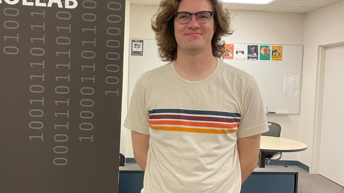
Kyle McGill is the new GIS research consultant in the UC Libraries Research and Data Services Unit.

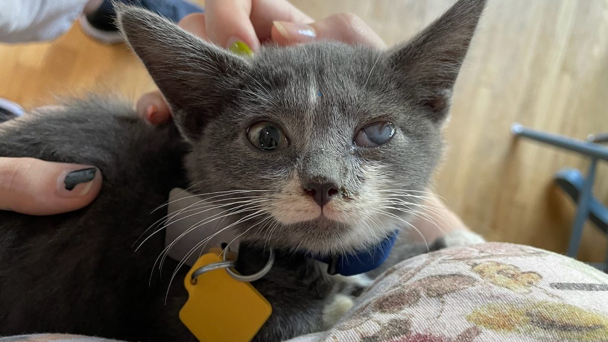
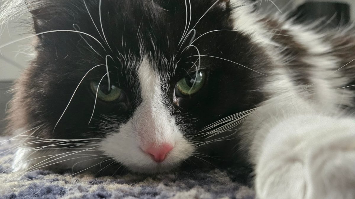
Kyle is a Master’s student in the Department of Geography and GIS. He completed an undergraduate degree in Geography, but also took classes in Urban Planning, both at UC. His primary interests are in remote sensing and environmental geography. He tends to spend his free time reading science fiction, playing video games, or playing with his two cats, Jojo and Nebula (pictures below).

Kyle McGill joins UC Libraries as the GIS Research Consultant
Graduate Student Kyle McGill

Kyle is here to help you understand how to use GIS software, think about project plans, and find data for your project.  He can share information, offer advice, and even partner on projects on a case by case basis. Please come by the Data & GIS Collab, located in the Geology Math and Physics Library (240 Braunstein Hall).

Kyle’s hours will be:

Monday10 am to 2 pm
Tuesday10 am to 2 pm
Wednesday10 am to 2 pm
Thursday10 am to 2 pm
Friday12 pm to 4 pm
Kyle McGill joins UC Libraries as the GIS Research Consultant
Nebula
Kyle McGill joins UC Libraries as the GIS Research Consultant
JoJo

Journey to Challenger Deep

Have you ever wondered what it really looks like at the bottom of the ocean? Few people in the world can answer this question, and Dr. Dawn Wright (@deepseadawn) is one of them. In the summer of 2022, she ventured to the deepest point on Planet Earth known as Challenger Deep in a two-person submersible. Through this historic journey, Dr. Wright became the first Black person and only the fifth woman to travel so deep in the ocean. The purpose of the journey was to collect data to add to the efforts to map the entire ocean floor. Currently, researchers have only mapped 24% of the ocean floor.

To learn about the journey and Dr. Wright, visit the Geology-Mathematics-Physics Library, 240 Braunstein Hall, and explore the exhibit on the expedition and Dr. Wright.

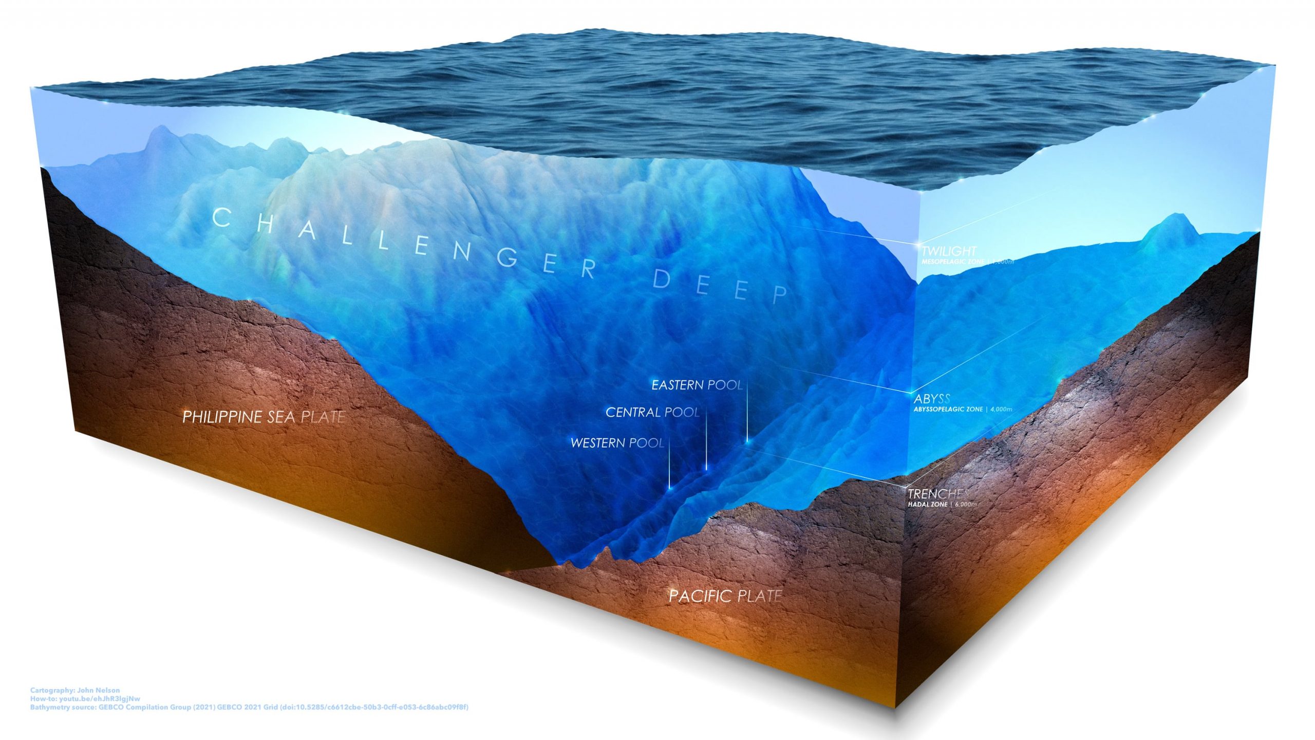
 a diorama of Challenge Deep, the deepest point in the ocean.

A representation of the depth of Challenger Deep in the Mariana Trench by John Nelson

Love Data Week 2022

graphic representation of International Love Data Week


Love Data Week

UC celebrates International Love Data Week. Feb 14-18, 2022.

UC Libraries will celebrate Love Data Week by hosting several workshops and events around campus.

Love Data Week was started to promote data use in higher education by a collection of academic librarians. It has grown into an international movement where data resources, workshops and collections are showcased during Valentine’s Day week. Learn more about its history and other events at https://myumi.ch/ICPSRldw2022events. #LoveData22

The theme this year is “Data is for Everyone.”
Sponsored by the Research and Data Services Department at UC Libraries along with Office of Research -Research Technologies-Research Computing and Data and the Graduate School, there are events daily to support researchers in every aspect of the data lifecycle from Library, Research Computing, and graduate student team members.

Featuring classes on storage and sharing (GitHub), using GIS to tell a story in a user-friendly format (Intro to Story Maps), data analysis, Introduction to XSEDE Big Data and Machine learning, organizing information (for Grad Students), protecting your own data (Consumer Data Protection), and finding data through patents (Find Patents!), this week will have something for everyone! Continue reading →

3C GIS Day(s) Registration is open

Celebrate National GIS Day

GIS stands for Geographic Information Systems.  It is a powerful research tool to create, manage, analyze, and map data based on spatial attributes.

As in 2020 and again in 2021, UC is participating in the statewide 3C GIS Day and there are several ways for you to join the celebration:

1) Register to watch all the virtual events including the Keynote by Chris Fisher of the Earth Archive Project: Register for 3C GIS Day(s).

2) On Nov 17th @ 11 am in 400TUC, watch the Keynote over lunch with your UC Colleagues: Register for in person viewing event Deadline 11/8/2021

3) Showcase your own GIS work by giving a Lightning Talk: Lightning Talk Submission Form – Deadline 10/27/2021

4) Participate in the Map Gallery showcase:  Map Gallery Submission Form – Deadline 11/10/2021

Find more in-depth information on each part of the GIS Day celebration, please visit the event website – https://3cgisday.github.io/.


The event is free and open to all.  Registration is required.

Questions

For general event questions, please contact geospatial@osu.edu.

For the UC specific event, please contact Amy.Koshoffer@uc.edu

UC Libraries Research And Data Services Team is here to help you

Welcome back to campus and a really big Welcome

to new students, staff, and faculty.

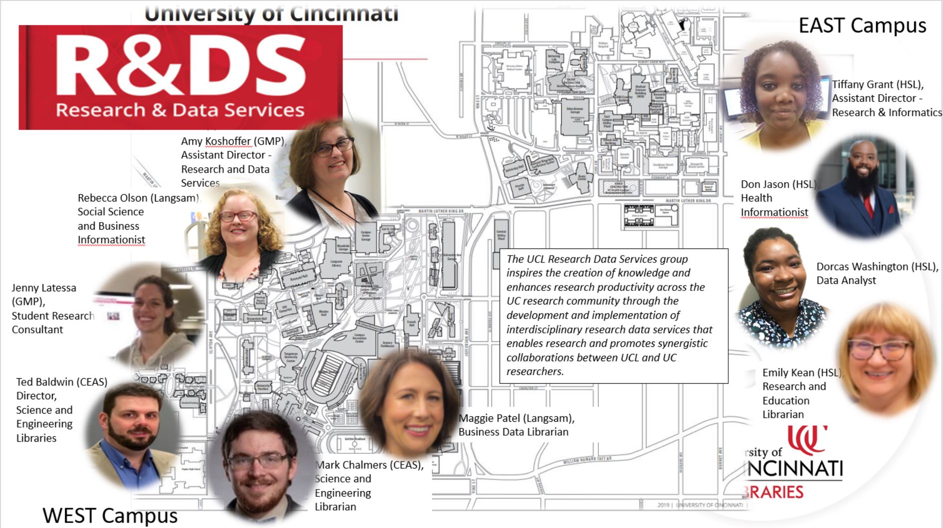
After you settle in and start to plan and implement your research projects, you may have questions about doing research here at UC.  The UC Libraries Research & Data Services is one of many support groups on campus to help you. We have information professionals and physical locations within various UC Libraries locations on East and West Uptown campuses to help all UC researchers.

UC Libraries Research And Data Services Team is here to help you We have vast and varied expertise and we can help you by

  • Supporting you throughout the research lifecycle
  • Helping you use tools such as:
  • Supporting Bioinformatic resource
  • Teaching and consulting on Data and Spatial analysis tools
    • SPSS, R, QGIS, ArcGIS (Desktop and Online)
  • Supporting data preservation and sharing resources
  • Explaining, finding, and using scholarly metrics i.e. impact factor, H-index, etc.
  • Explaining, finding, and using persistent identifiers such as ORCID and DOIs
  • Encouraging you to register for our workshops in Faculty OneStop
  • Teaching workshops focused on research and data recommended practices
  • Coming in for a consult at one of our locations.
  • Partnering with you on projects in scope with our mission and skill set.

We sponsor signature events such as Data Day (Nov 5th) and GIS Day (Nov 17th) through our Data and Computational Science Series and invite you to attend.  Here is a brief list of upcoming events and workshops focused on research.

August 31: Machine Actionable Data Management Plans And The Dmptool

September 8: R Introduction Workshop

September 14: ESRI’s StoryMaps

We are here to help you develop research efficiencies and make the most of your research.  We look forward to meeting you and hope to see you at our workshops and events.   And we are here so you get the information and resources you need, and we hope to partner with you on your research projects.

Contact us at:

Email – ASKDATA@UC.EDU 

Website – https://libraries.uc.edu/rds.html