
GIS stands for Geographic Information Systems and is a powerful technology for data analysis, visualization and interpretation to understand spatial patterns and trends.
Sponsored by A&S Department of Geography & GIS and UC Libraries –
You are invited to the 2017 GIS Day Celebration November 15, 2017
in the beautiful Nippert Stadium West Pavilion North Lounge.
The event is free and open to all.
Event Program:
11 – 12 pm Professional talk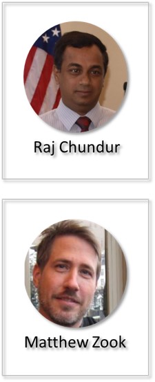
“GIS in Local Governments – A Decision Making Framework”
– Raj Chundur (Cincinnati Area GIS Administrator)
12 – 1 pm Lunch
1 – 2 pm Academic talk
“Crowd-sourcing the Smart City: Big Geosocial Media Data, Ethics and
Urban Governance”
– Dr. Zook (University of Kentucky)
Raj Chundur is the CAGIS Administrator for the City of Cincinnati
Cincinnati Area Geographic Information System (CAGIS)
Matthew Zook PhD is Professor of Economic Geography at University of Kentucky. His research focuses on how the geoweb is produced (particularly the practices surrounding user-generated data) in order to better understand where, when, and by whom geo-coded content is being created. He is a well published researcher and a contributor to the research blog FloatingSheep.
Questions? E-mail Amy Koshoffer, science informationist, at ASKGIS@UC.EDU for more information.
Flyer – GISDAY_2017_1