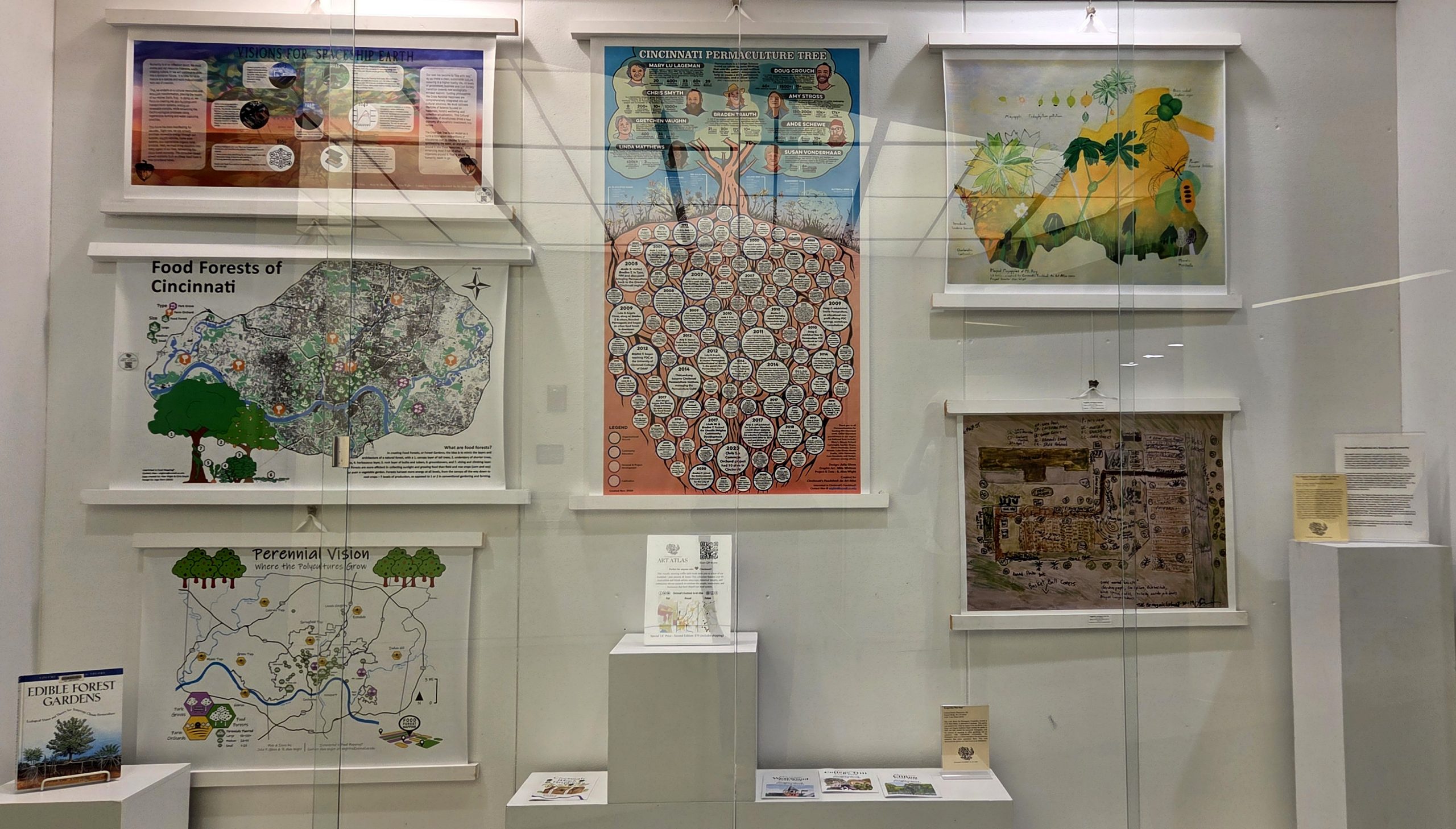
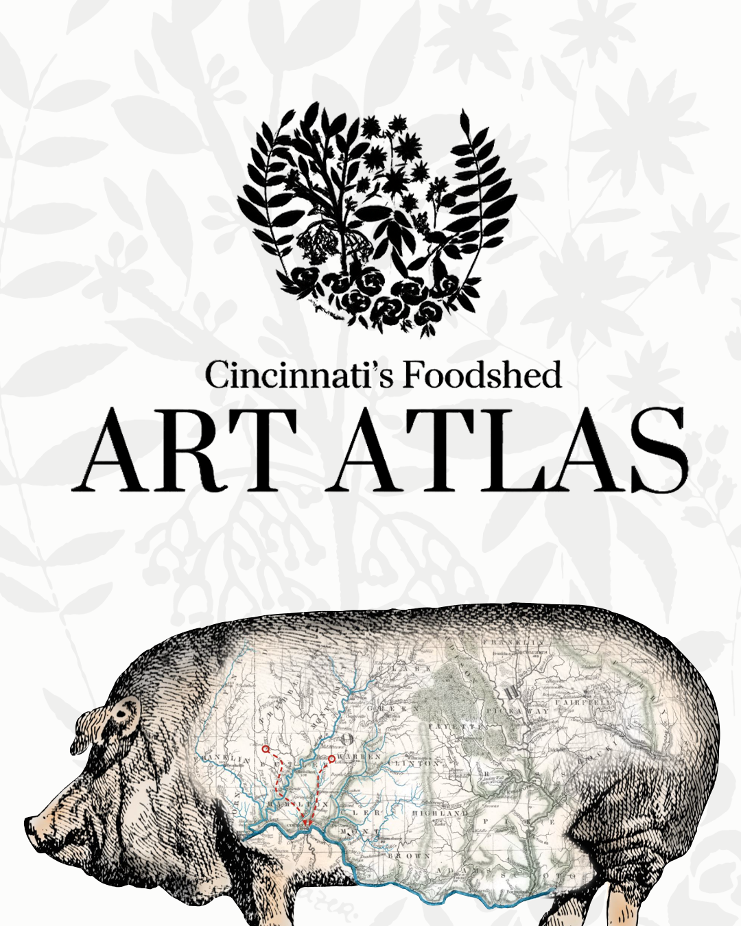
Two exhibits on display on the 4th and 5th floor lobbies of the Walter C. Langsam Library feature the work of Cincinnati’s Foodshed: An Art Atlas, a visually stunning and thought-provoking exploration through the past, present and future of the Cincinnati Tristate region’s food economy. The exhibit features timelines and storymaps to celebrate the people, innovations and businesses that have shaped the local food movement.
Food mapping is one way to analyze data and share stories of how the physical environment intersects with the lived experience of food access. The exhibit displays maps created in partnership with neighborhood associations and by walking the area.
The exhibit promotes the availability of UC Libraries Research & Data Services – informationists and librarians that can assist researchers in managing and preserving research data, finding and acquiring external data, and in utilizing GIS techniques and software. People wanting to create their own map or work with spatial data and need assistance, can work with GIS research consultants available to help.
A bibliography of related UC Libraries resources is available for takeout at the exhibit for people who want to learn more about the topics covered in the exhibit.
Cincinnati’s Foodshed: An Art Atlas was written by Alan Wight, PhD. The exhibit was curated by Alan Wight and Amy Koshoffer, assistant director of RDS. It was designed by Reece Guthier, communication design co-op student.
The Langsam exhibits correspond with a similar exhibit on display in the Karl J. Schlachter and Robert A. Deshon Library for Design, Architecture, Art and Planning (DAAP). Cincinnati’s Foodshed: Art, Ecology and Community features a selection of works from the book. The exhibit is on display at the entrance to the library.