
Weiye is a PhD candidate in Geography at the University of Cincinnati. Originally from Shenzhen, China, he earned both his bachelor’s and master’s degrees in Land Resource Management at China University of Geosciences.
His research focuses on geospatial data science, socio-environmental sustainability, and health geography, with a particular interest in applying advanced modeling and algorithms to understand human–environment interactions. He has contributed to several projects including land management, nature-based climate solutions, and urban perception analysis using street-view imagery, and has presented his work at academic conferences such as the American Association of Geographers (AAG) annual meeting.
As a GIS Collab consultant, Weiye looks forward to supporting others while continuing to expand his analytical toolkit in GIS-related analysis. He can share information, offer advice, and even partner on certain projects (on a case by case basis).
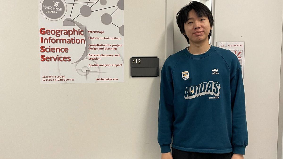
The Data & GIS collab is located in 412 Langsam with the hours of
Monday 9:00 am – 5:00 pm
Tuesday: 9:00 am – 1:00 pm
Wednesday: 9:00 am – 2:00 pm
Thursday: 9:00 am – 1:00 pm
Friday: 9:00 am – 2:00 pm