By: Angela Vanderbilt
A prominent figure in early Cincinnati history, Henry Probasco was both businessman and philanthropist, committing his time to numerous Cincinnati organizations and societies, accumulating a large personal library of rare books and manuscripts, as well as an extensive collection of prints and paintings, both rivaling the finest in the country, and dedicating two elaborate fountains to the citizens of Cincinnati in the late 1800s.
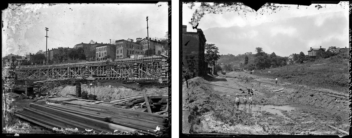
Henry Probasco, along with his business partner and brother-in-law, Tyler Davidson, managed one of the most successful hardware companies in Cincinnati in the 1800’s – Tyler Davidson & Company. Probasco joined the business in 1835 as a clerk, and in 1840 was made a partner. The same year, he married Davidson’s half-sister, Julia. Together with Davidson, Probasco succeeded in expanding the business quickly, and by 1846, Tyler Davidson & Company was the largest hardware store in Cincinnati. In 1851, at Probasco’s suggestion, the partners built a new, multi-level structure on the site of the original store at 140-142 Main Street, between Second and Third Streets, and within three years, their sales quadrupled. Pearl Street, Water Street and Front Street were also located in this area, and ran parallel with Second Street to the north and the river to the south. The hardware store, Second, Front, Water, and Pearl Streets no longer exist; all have been replaced with I-71, Fort Washington Way, the Great American Ball Park and Paul Brown Stadium, among other attractions along the riverfront.
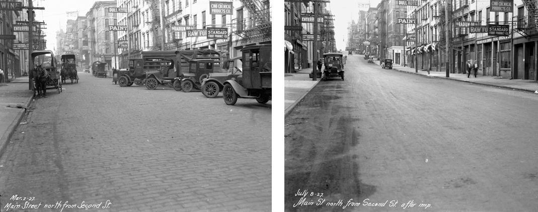
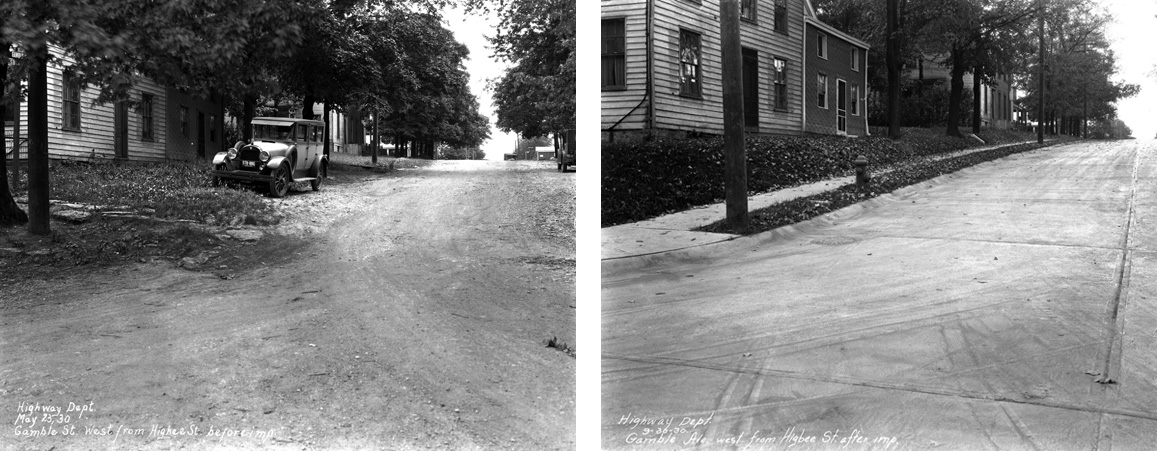
After Tyler Davidson passed away in 1865, Henry Probasco sold the hardware business to former partner, William Lowry, in 1866. The building would have been located on the east (right) side of Main Street between Second and Third Streets, in the vicinity of the images above (Left: March 2, 1927; Right: July 8, 1927.
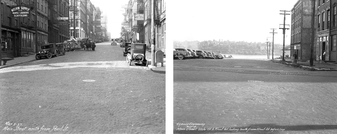
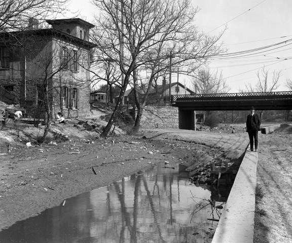
In the early history of Cincinnati, several streets were platted running parallel with the Ohio River, but which no longer exist. These were Pearl Street, Water Street, Front Street and Second Street. These have been replaced with Fort Washington Way, I-71, as well as museums, major league sports arenas and other businesses and attractions along the riverfront. (Left: March 2, 1927; Right: October 10, 1941)
Continue reading →

 UC Libraries is transforming technology, people, space and information resources to “become the globally engaged, intellectual commons of the university – positioning ourselves as the hub of collaboration, digital innovation and scholarly endeavor on campus.”
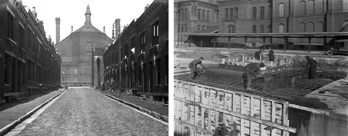
 The University of Cincinnati Libraries have created a website and digital archive that provides access to the historic Cincinnati subway and street images, a collection of over 8,000 photographic negatives and prints taken as part of a failed subway development project in the 1920s, and photographs documenting various street projects from the 1930s through the 1950s.