By Angela Vanderbilt
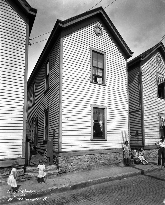
Road construction. It seems like it’s never ending. Some have joked that Ohio has only two seasons – winter and road construction. And the images in the Street Improvement collection would certainly seem to validate that. What is interesting about the images in the collection of street improvements is that many of the streets recorded in the photographs no longer exist. Or, where they do still exist, they are named differently or the surroundings have been altered to the point that the location in the photograph is no longer recognizable.
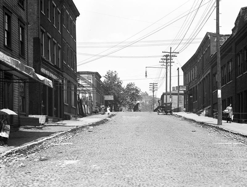
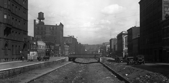
One major example of a street changing in both name and appearance is Laurel Street – or as we know it today, Ezzard Charles Drive. Originally a narrow street lined with brick row houses and businesses, Laurel Street extended from 1247 Plum Street west to Freeman Avenue, with the Cincinnati Symphony Orchestra Hall towering over the eastern end of the street, as if keeping watch over all who passed. In the winter of 1921, subway construction made its way north along the canal bed to the Laurel Street intersection, where a tunnel ventilator was constructed.
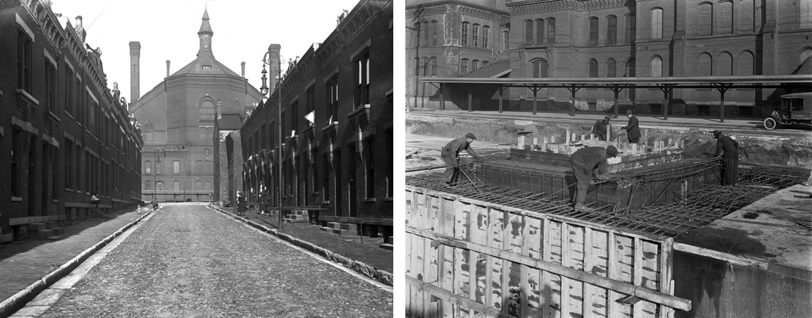
(Left) Construction of subway ventilator opposite Laurel Street, January 12, 1921, 2:02 p.m.
(Right) Laurel Street, west of Canal, with Cincinnati Symphony Orchestra Hall in center background, April 21, 1920, 3:47 p.m.
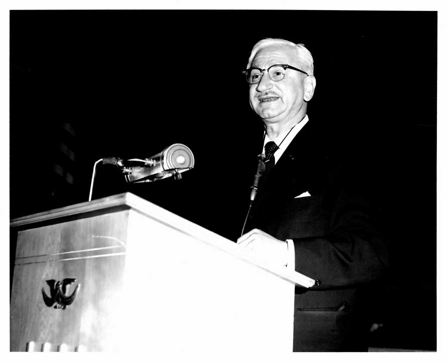
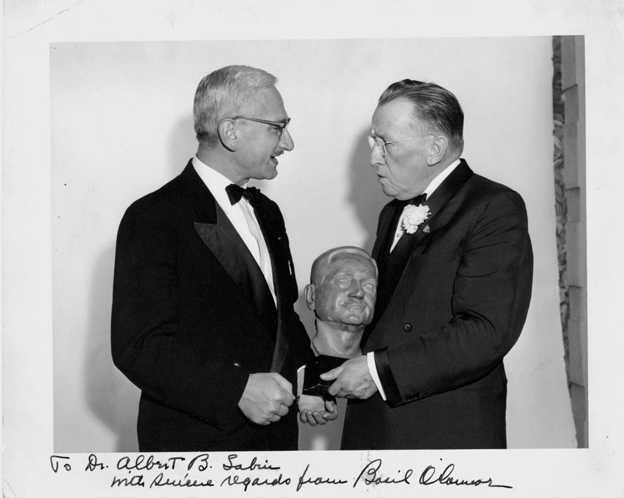
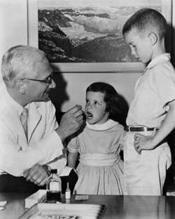 The University of Cincinnati Libraries have completed a three-year project to digitize the correspondence and photographs of Albert B. Sabin, developer of the oral polio vaccine and distinguished service professor at the University of Cincinnati’s College of Medicine and Children’s Hospital Research Foundation from 1939-1969.