By: Tyler Morrison, ARB Student Assistant
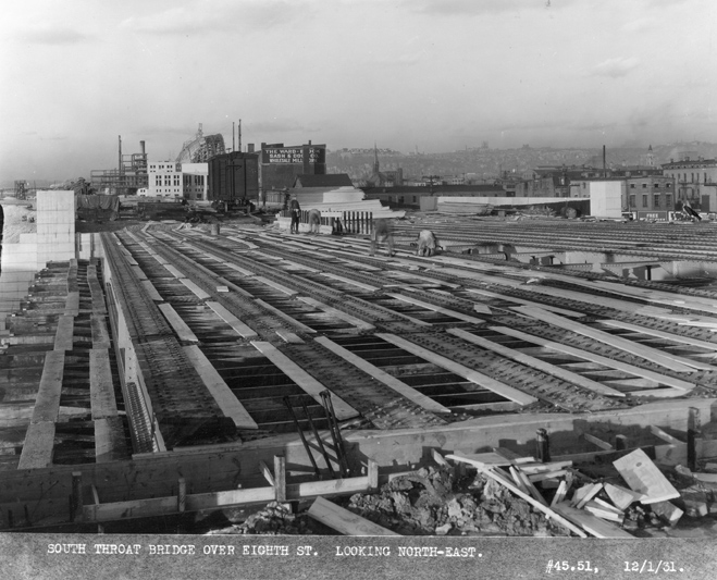
December 1931
Here at Archives and Rare Books Library, we have the Progress Photographs of the construction of Union Terminal that were organized by the Cincinnati Union Terminal Company. The Engineer of Construction was George P. Stowitts. The photographs show views of the different phases of construction from the beginning to the end of the project. These albums are available for viewing upon request. Cincinnati Union Terminal was one of the last great train stations built. It was a significant development in the history of Cincinnati transportation and has become an icon of the city. The building project started in August 1929 and was completed on March 31, 1933. Having 94 miles of track, Union Terminal cost $41 million to build. It was built to accommodate 216 trains per day for 17,000 passengers daily. Passenger train services ceased in 1972 and started up again in 1991 when Amtrak took over train operations at the station. Continue reading
 The Henry R. Winkler Center for the History of the Health Professions was fortunate to receive generous donations from both Nancy Felson and the University of Cincinnati Department of Radiology to help process the Dr. Benjamin Felson papers held here in the Center. According to a chapter in History of Medical Specialties in Cincinnati, Dr. Stanley J. Lucas wrote:
 Featured country:
  UC at the Zoo is BACK – and it’s better than ever! Tickets are only $7 and include parking, entertainment and discounts at food vendors (excluding alcoholic beverages).

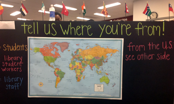
 Today’s featured country:
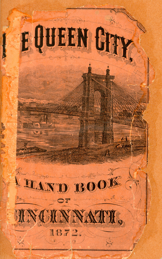
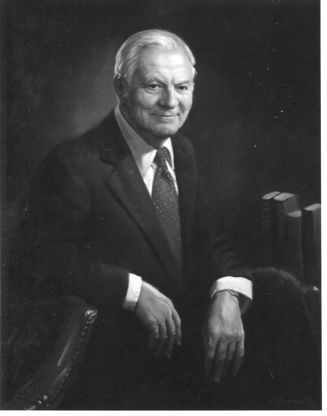
 Mark Palkovic, head of the