GIS Day Celebration – November 15, 2023

Join other UC GIS users for the celebration of National GIS Day. 

Flyer for GIS Day - repeats text in blog post

GIS, or Geographic Information Systems, is a way of analyzing spatial data to identify spatial patterns, solve problems and better understand the world we live in. With GIS we can understand climate change, disease progression, population dynamics and other phenomena of our modern world.

Sponsored by the Provost’s Office, UC Libraries, Department of Geography & GIS, Geography Graduate Student Association, and the Joint Center for GIS and Spatial Analysis, the day features Director of Education for Esri [Industry Leader in GIS software], Geri Miller and a GIS Jobs Panel.  The event is free and open to all.  Lunch will be provided for all attendees.

GIS Day

Date: November 15, 2023

Venue: Location Rm 400 ABC / Tangeman University Center

11:00 Keynote Speaker Geri Miller, Director of Education, Esri – Talk Title – “Geospatial Education in the Cloud: Today’s Workforce Skills

  • Geri Miller is Director of Education at Esri. Her main role is to support academic institutions stay on cutting edge of geospatial technology. Prior to that, she was an Instructor and Technical Lead at Esri, specializing in online and onsite delivery of various geospatial technology courses. Ms. Miller is also an Associate Program Director for the Johns Hopkins University Master of Science in Geographic Information Systems program and has been a lecturer in the program since its inception. She has developed and taught a range of the GIS curriculum, including Web GIS, Spatial Analytics, Programming in GIS courses.  https://advanced.jhu.edu/directory/geri-miller/

12:00 pm Lunch                                                

1:00 pm Jobs Panel featuring

  • Trisha Brush, MBA PMP GISP DTM (Director Information Systems and Analytics at Planning and Development Services of Kenton County)
  • Kelly Wright, M.S., GISP (GIS Analyst at City of Monroe)
  • Gabriela Waesch (GIS Analyst at OKI Regional Council of Governments)
  • Madison Cox (Geospatial Data Scientist at Sanitation District No. 1 of Campbell and Kenton Counties)
  • Madison Landon (Urban Planner at Woolpert)

Register for GIS Day in Faculty One Stop

Also please join members of the Department of Geography & GIS for coffee, pastries and conversation with the keynote prior to the official celebration

Venue: 4th Floor lounge, Braunstein Hall

9:30 – 10:30 Pre event Coffee and Donuts with Keynote   

3C GIS Day(s) 2021: Save the Date and Call for Proposals 

3C GIS Day(s) 2021: Save the Date and Call for Proposals 

Save the Date 

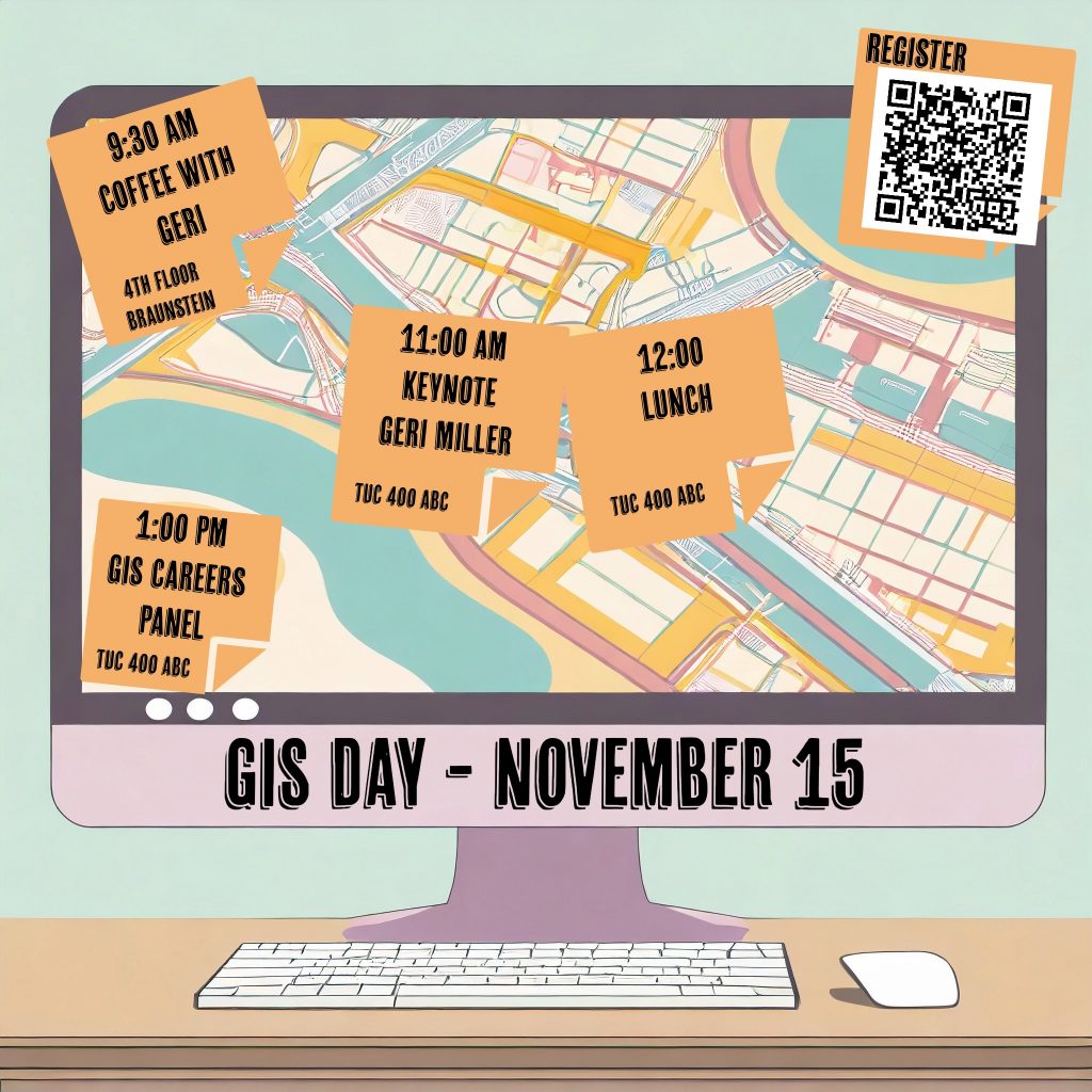
Join us during the week of November 15-19 for a virtual GIS Day program featuring a keynote speaker, lightning talk sessions, and a digital map gallery. This event is free and open to the public, and registration details will be available soon. 

GIS stands for Geographic Information Systems.  It is a powerful research tool that makes use of the geospatial attribute of data.  One of the oldest and most famous examples is the map showing how John Snow was able to determine the source of a cholera outbreak in London from the location of sick individuals.   

 3C GIS Day(s) 2021 is a collaboration between Case Western Reserve University, The Ohio State University, and the University of Cincinnati. 

Lightning Talk Call for Proposals 

The 3C GIS Day(s) planning committee invites submissions for lightning talks (10 minutes) from any faculty, staff, or students affiliated with one of the three organizing institutions. We encourage submissions from any disciplines that use geospatial information in any format, such as agriculture and environmental sciences, geography, engineering, business, health sciences, urban planning, and the humanities and social sciences, among others. We especially encourage submissions from graduate and undergraduate students who would like to showcase their work through a fun and informal presentation opportunity. 

Please submit your lightning talk proposal by Friday, October 15Lightning Talk Submission Form. 

Information collected during the submission process includes presenter name and affiliation, availability during proposed sessions times, and presentation details (title, brief description, and any collaborators). 

If you have questions, please contact geospatial@osu.edu. 

Stay Tuned 

As part of this program, we’ll also be organizing a digital map gallery for affiliated faculty, staff, or students to showcase their original cartographic work, including both static and interactive maps. More information and a map gallery submission form will be available in the coming weeks. 

Save the Date: GIS Day 2020

GIS Day is an annual event for students, staff, faculty, and the broader community to learn more about Geographic Information Systems (GIS) and to celebrate the power of geospatial analysis and visualization in answering research questions and solving real-world problems. This year, GIS Day is happening on Wednesday, November 18, and we hope you’ll mark your calendars so you can participate. We’re excited to bring you a different kind of GIS Day experience this year and to tell you a bit about what we have in the works.

In the past, we’ve hosted in-person GIS Day events, but we decided early in the discussions about returning to campus for autumn semester that this would not be a good idea in 2020. The first important change for this year is that we’re going virtual!

A virtual GIS Day provides us with a great opportunity to broaden participation in the program. Another important change this year is that our GIS Day 2020 program will be a collaboration between The Ohio State University, Case Western Reserve University, and the University of Cincinnati. Get ready for 3C GIS Day!

We’re in the early stages of planning, but we look forward to an exciting program that will include:

  • Lightning Talks
    • Learn about the application of geospatial technologies in a wide variety of disciplines from faculty, staff, students, and GIS professionals across Ohio’s 3C Corridor (Cleveland, Columbus, and Cincinnati).
  • StoryMaps Showcase
    • We’re inviting any students, staff, and faculty affiliated with The Ohio State University, Case Western Reserve University, and the University of Cincinnati to create and submit ArcGIS StoryMaps to showcase their work on GIS Day and beyond. More details about the StoryMaps Showcase will be coming soon!
  • Professional Networking
    • We will provide a venue for GIS professionals, researchers, and students from across Ohio to connect with one another and discuss experiences, opportunities, and current topics of interest in the world of geospatial.

In anticipation, there will be a StoryMaps workshop on October 5, 2020 from 10 am – 12 pm taught by the Research and Data Services team and hosted by the FEC.  Stay tuned for more information about this workshop and 3C GIS Day in the coming weeks and months, and mark your calendars for a great event on November 18, 2020!  The event is free and open to all.

The 3C GIS Day planning committee includes Josh Sadvari and Katie Phillips (OSU), Ben Gorham (Case), and Amy Koshoffer (UC). If you have any questions about 3C GIS Day or are interested in participating and want to receive updates, please email Amy Koshoffer at askData@uc.edu.


The Data & Computational Science Series presents – GIS Day 2019 Nov 13th

This year’s UC’s Celebration of National GIS Day is coming up on Nov 13th, 2019 and is organized by UC Libraries, UC Department of Geography and GIS, UC Joint Center of GIS & Spatial Analysis, UC Environmental Studies Program and the UC College of Arts and Sciences.

We invite you to come and celebrate with us.  Lunch will be provided and this event is free and open to all.

Please register at https://webapps2.uc.edu/ce/FacDev/Workshops/Details/13645.

Dr Hao Hu, Product Engineer with ESRI is the featured speaker and will present on the intersection of Machine Learning and Geographic Information Sciences (GIS) and how ESRI is addressing these opportunities in spatial applications with ArcGIS.   Dr Hao Hu is a product engineer in the Geoprocessing/Raster Analysis team at Esri, and works on large raster data processing that leverages distributed computing and storage technology. Before joining Esri, Dr. Hao completed his Doctoral degree in Geography from the University of Illinois at Urbana-Champaign (UIUC) researching on GIS and cyberinfrastructure, spatial decision support system, geospaital data uncertainty, and spatial optimization.

This talk is co-funded by the Provost Funded Data & Computational Science Series (awarded to UC Libraries and IT@UC Research and Development), the Graduate Student Association of UC and the Department of Geography – College of Arts and Science of UC.

The event will be held in 400 A-B TUC from 10 am to 2 pm

Hour Talk
10:00am Main talk (colloquium) -Machine Learning with ArcGIS
10:45am Coffee break
11:00am Practical session (Showcase) – Machine Learning in ArcGIS Platforms
1:00pm Lunch
1:30pm Link-GIS talk


UC Celebration of National GIS Day

Please mark your calendars on November 14, 2018 as UC Libraries will join the Department of Geography & GIS, GISSA and the Geography Graduate Student Association in celebrating National GIS Day.

This year’s speaker will be Dr. Daniel Sui , Vice President for Research, University of Arkansas and former Division Director for Social and Economic Sciences (SES) at the U.S. National Science Foundation.

Agenda:

Venue – 402 Braunstein Hall

10:00 a.m. – 11:00 a.m. Open meet and greet

Venue – TUC 427

11:00 a.m. – 12:00 p.m. Lunch

12:00 p.m. – 1:00 p.m. Featured Speaker: Dr. Daniel Sui

1:00 p.m. – 2:00 p.m. Question and Answer Session

This event is free and open to all

Flyer – UC_GIS_Day