GIS Day is an annual event for students, staff, faculty, and the broader community to learn more about Geographic Information Systems (GIS) and to celebrate the power of geospatial analysis and visualization in answering research questions and solving real-world problems. This year, GIS Day is happening on Wednesday, November 18, and we hope you’ll mark your calendars so you can participate. We’re excited to bring you a different kind of GIS Day experience this year and to tell you a bit about what we have in the works.
In the past, we’ve hosted in-person GIS Day events, but we decided early in the discussions about returning to campus for autumn semester that this would not be a good idea in 2020. The first important change for this year is that we’re going virtual!
A virtual GIS Day provides us with a great opportunity to broaden participation in the program. Another important change this year is that our GIS Day 2020 program will be a collaboration between The Ohio State University, Case Western Reserve University, and the University of Cincinnati. Get ready for 3C GIS Day!
We’re in the early stages of planning, but we look forward to an exciting program that will include:
- Lightning Talks
- Learn about the application of geospatial technologies in a wide variety of disciplines from faculty, staff, students, and GIS professionals across Ohio’s 3C Corridor (Cleveland, Columbus, and Cincinnati).
- StoryMaps Showcase
- We’re inviting any students, staff, and faculty affiliated with The Ohio State University, Case Western Reserve University, and the University of Cincinnati to create and submit ArcGIS StoryMaps to showcase their work on GIS Day and beyond. More details about the StoryMaps Showcase will be coming soon!
- Professional Networking
- We will provide a venue for GIS professionals, researchers, and students from across Ohio to connect with one another and discuss experiences, opportunities, and current topics of interest in the world of geospatial.
In anticipation, there will be a StoryMaps workshop on October 5, 2020 from 10 am – 12 pm taught by the Research and Data Services team and hosted by the FEC. Stay tuned for more information about this workshop and 3C GIS Day in the coming weeks and months, and mark your calendars for a great event on November 18, 2020! The event is free and open to all.
The 3C GIS Day planning committee includes Josh Sadvari and Katie Phillips (OSU), Ben Gorham (Case), and Amy Koshoffer (UC). If you have any questions about 3C GIS Day or are interested in participating and want to receive updates, please email Amy Koshoffer at askData@uc.edu.

 In this issue of Source,
 braries are closed Monday, September 7 for Labor Day, except for the
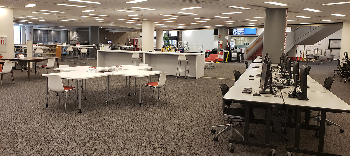
 g for library print materials for research or study? The Click & Collect retrieval and pickup service (now expanded to a daily service!) allows UC users to request printed library materials in the