On Nov 3rd, the Red Cross and UC libraries partnered to hold a second Missing Maps Mapathon. Missing Maps is an open, collaborative project in which you can help to map areas where humanitarian organisations are trying to meet the needs of vulnerable people.
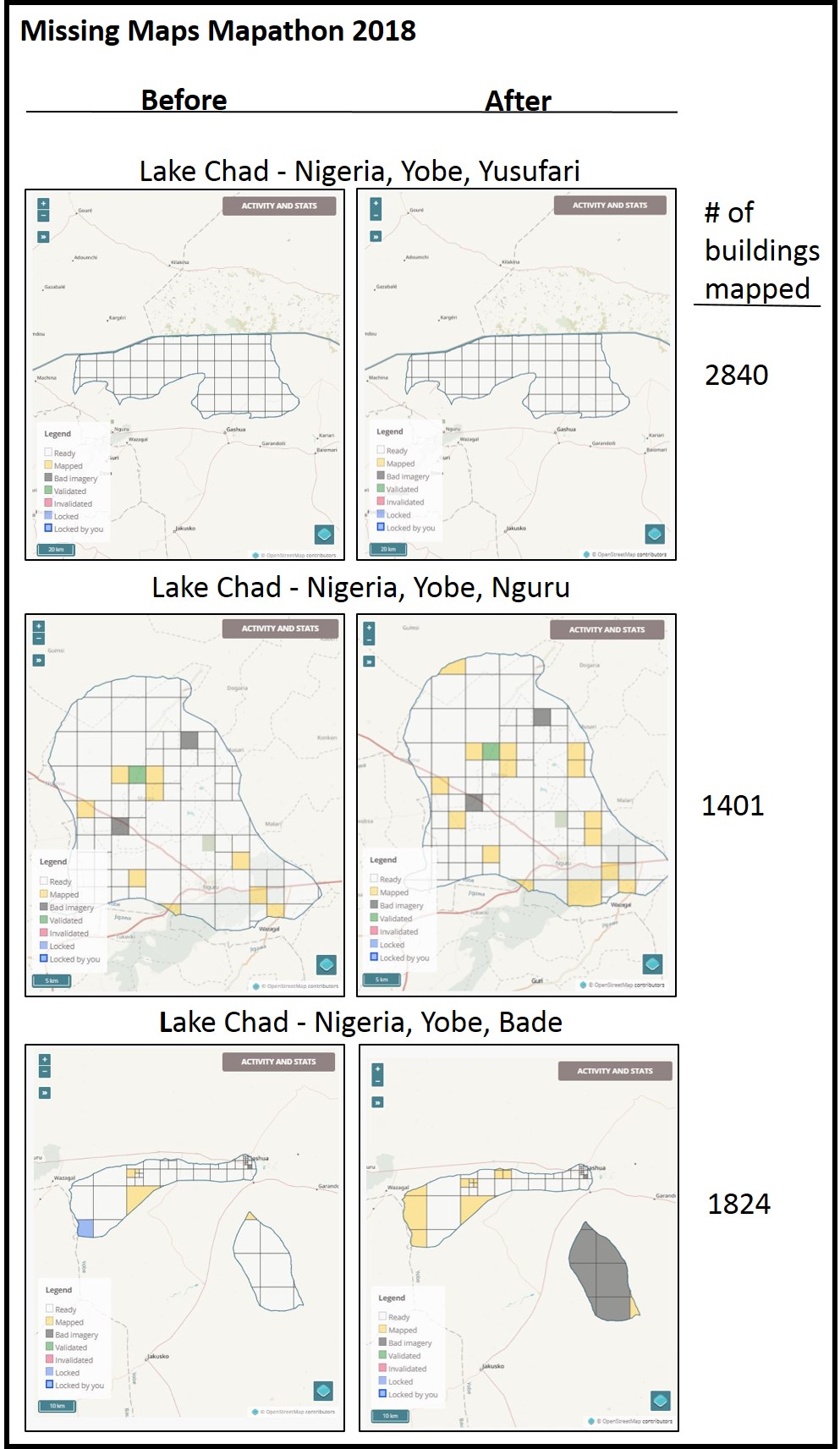
During the mapathon, participants used the Open Street Map platform to identify buildings in satellite images and place them on a regional map (georeference). The Red Cross uses this information to set up emergency services in areas that are impacted by natural disasters such as floods and earthquakes. The mapping will be verified by Red Cross volunteers working in the mapped country and will help prepare response teams in the area to better assist if disaster strikes.
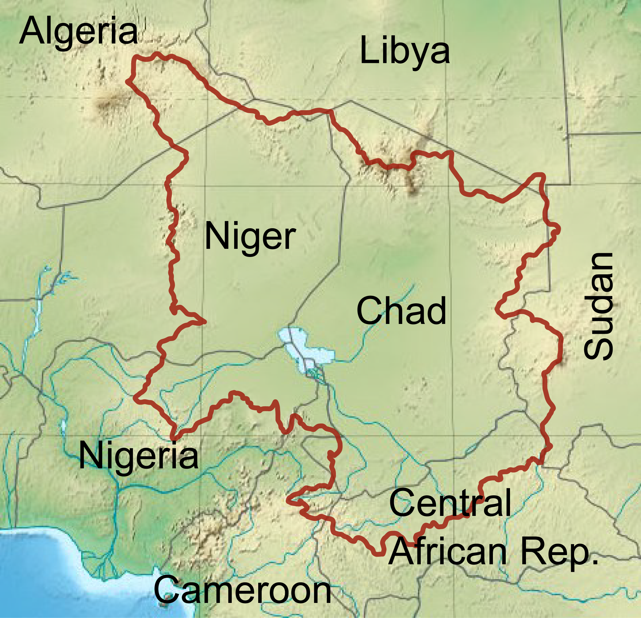
This year’s project covered three areas in the Lake Chad region in Niger. This region of the world is experiencing a great humanitarian crisis due to poor infrastructure, conflict, poverty, and climate change. It has been reported that nearly 17 million people are affected by the dire situation and 10.7 million are in need of humanitarian assistance. The International Red Cross has been working in the area for thirty years and coordinates efforts with local relief agencies.
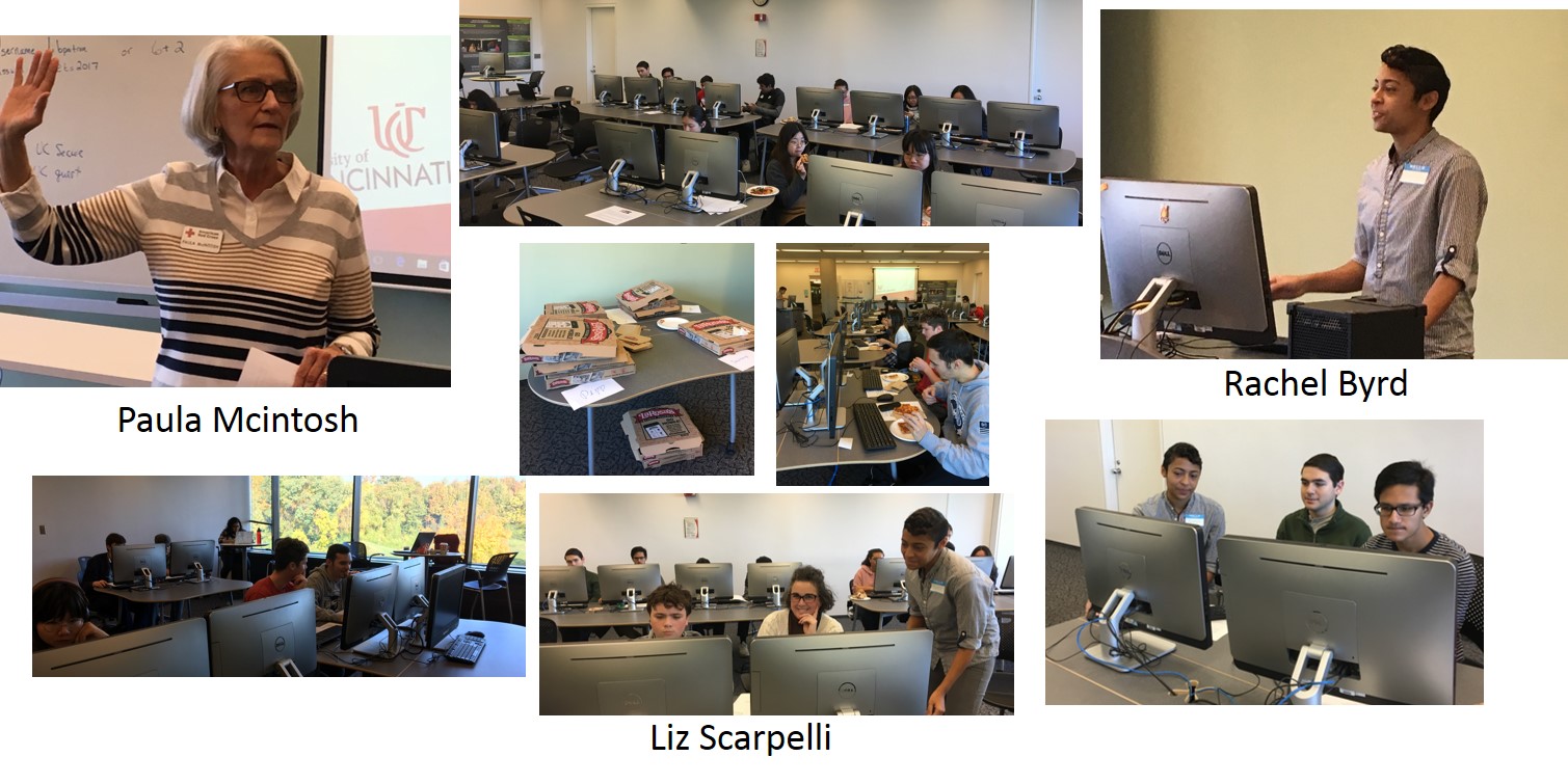
At this year’s event, UC Geography student Rachel Byrd led UC Cincinnatus Scholar students, UC Librarian Amy Koshoffer, UC Press Director Liz Scarpelli, and Red Cross International Services Manager Paula McIntosh through the 4 hour mapping session. In the span of four hours, volunteers were able to map three regions around the lake and identified 6065 buildings. Many thanks to all who participated and contributed to the mission of the Red Cross.