What is an ORCID? ORCID stands for Open Researcher and Contributor ID.
You can now access your ORCID account using your UC login.
Visit the ORCID login page and click the Institutional Account button. Choose University of Cincinnati Main Campus. You will be prompted to link the two accounts.
Don’t have an ORCID yet?
You can register directly on the website http://orcid.org
OR Even Better
You can access a prefilled registration form linked to your UC email through Scholar@UC on your profile page.
Currently you can enrich your ORCID profile with content in Scholar using a DOI given to the work. (link to video-http://www.kaltura.com/tiny/ycktt 2017-03-17)
For more information about this new login feature, please refer to the blog post from ORCID
https://orcid.org/blog/2016/05/21/what-was-my-password-again
Contact ASKDATA@UC.EDU for more information or with questions.


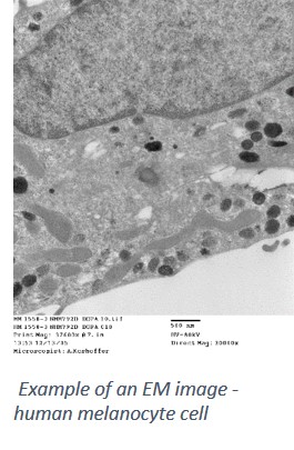 of the building. There are times I miss the bench research and the data I created in my time as a senior research assistant. One of my favorite techniques was microscopy and particularly