Data Focus – Upcoming Workshop “Introduction to ArcGIS Online”

Do you want to know more about working with spatial data? Attend the upcoming workshop “Introduction to ArcGIS Online” on October 7 from 1:30 om to 3:00 pm. Registration and workshop details are available in Faculty Onestop. The workshop is free and open to any Bearcat who wants to learn more about the Ersi Platform ArcGIS Online, how to get an UC Esri account, and how to find data with spatial attributes.

Workshop description: This introductory in-person workshop introduces the fundamentals of web mapping and spatial analysis using ArcGIS Online. No previous GIS or ArcGIS experience is required. ArcGIS Online runs directly in a web browser and is available to participants with a UC login.

The workshop will begin with an introduction to GIS and spatial data, followed by a guided tour of the ArcGIS Online interface. Participants will learn how to sign in, navigate Map Viewer, find and add spatial data, work with map layers and attributes, change basemaps and symbology, and explore geographic patterns.

By the end of the workshop, participants will have experience creating and interpreting a web map in ArcGIS Online and will have a foundation for applying GIS tools to their own research or projects.

The workshop will be facilitated by Le Tu, Research and Data Services GIS research consultant. If you want to explore spatial data and GIS resources deeper after the workshop, Le is available for consultations. Visit the GIS Services lab in 412 Langsam.
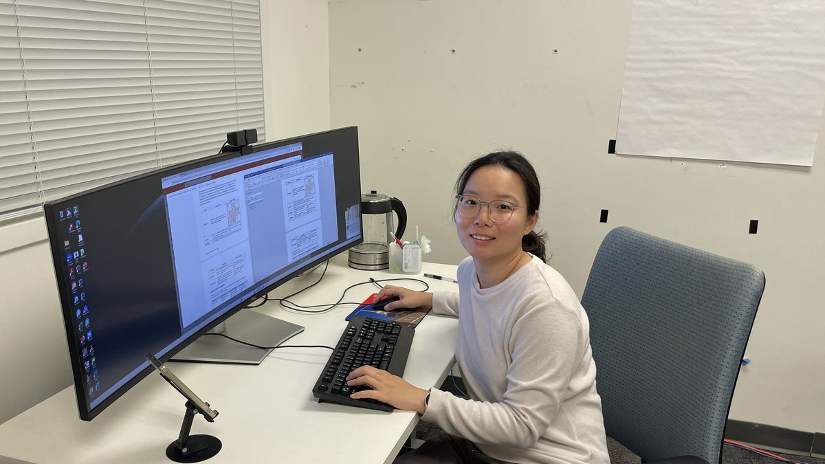
Woman at computer

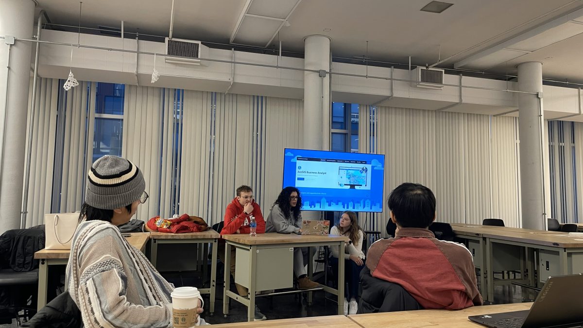
UC Libraries GIS Services attends the Urbanism Club Meeting

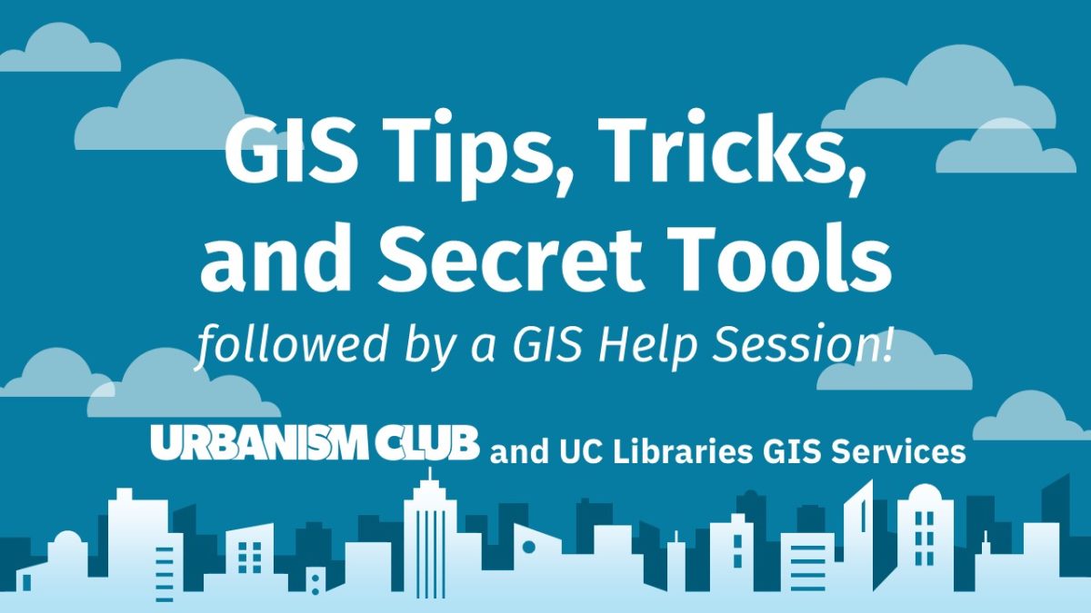
a slide from the introduction to GIS workshop offered by the urbanism club The title of the slide is GIS Tips, Tricks, and secret tools followed by a GIS help session.

The UC Libraries GIS research consultants attended the Urbanism Club in support of the club’s Introduction to GIS session. GIS stands for Geographic Information Systems and is the process of collecting, analyzing, and managing data with spatial attributes. Fenley Jones, Kayra Koprulu, and Jaclyn Mauro were great hosts and put on an incredibly informative session that covered access to software, how to increase your knowledge base through trainings, and how they personally use different tools. It was really great to see the various ways students are using GIS resources and how the club supports students who are interested in learning more about GIS. To find out more about the club, visit their campuslink page. And the club will be offering additional GIS sessions on March 9th and April 13th.

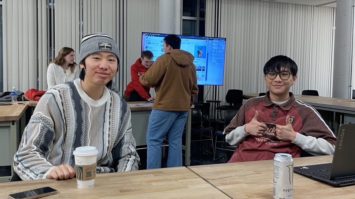
Weiye (in grey sweater) and Andrew Ho (in red shirt), UC Libraries GIS Research Consultants

The UC Libraries GIS services is available to help students and researchers plan GIS projects, access software, understand how create visualizations such as maps and analyze spatial data. The lab is located in 412 Langsam and is open in the spring during the following hours:

  • Mon 9:00 AM – 5:00 PM 
  • Tues 9:00 AM – 1:00 PM 
  • Wed 9:00 AM – 2:00 PM 
  • Thurs 9:00 AM – 1:00 PM 
  • Fri 9:00 AM – 2:00 PM 

Weiye Li (Left – Phd student – Geography & GIS) and Andrew Ho (Right – Undergraduate – Planning) look forward to meeting you and learning about your GIS interests.

UC Libraries GIS Services attends the Urbanism Club Meeting

Xin Gu Joins RDS Team as GIS Research Consultant

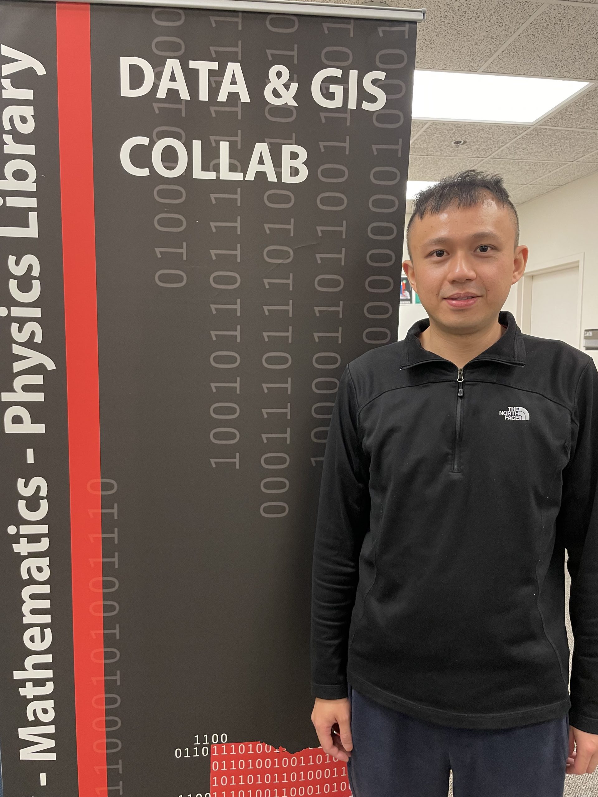
The UC Libraries Research and Data Services Unit is pleased to welcome Xin Gu to our team as the GIS Research Consultant.

Xin Gu is a doctoral candidate from the Department of Geography and GIS at the University of Cincinnati (UC). Before joining UC, he received master’s degrees in Criminal Justice and GIS, respectively. His current research examines the impact of business closure and mobility reduction during COVID-19 on crime. Xin has several research papers published in Cities, Social Science Computer Review, Computers, Environment and Urban Systems, and ISPRS International Journal of Geo-Information. He also serves as a research fellow for the Institute for Research in Sensing and a GIS research consultant for the Geology-Mathematics-Physics library at UC, enabling him to spread geographical knowledge to the rest of the campus and beyond. In his spare time, he likes to play badminton and practice Yoga.

His consultation hours will be Tues, Wed and Thurs from 10:30 to 5 pm. Xin is here to help you understand how to use GIS software, think about project plans, and find data for your project.  He can share information, offer advice, and even partner on certain projects (on a case by case basis). Please come by the Data & GIS Collab, located in the Geology Math and Physics Library (240 Braunstein Hall).

Image of Man standing next to a sign.  The sign reads Data and GIS Collab