Zhiyuan Yao is one of two GIS support students working in the Research & Data Service research labs at the Geology Math and Physics Library. The Data & GIS collab is open to students, staff and faculty seeking help with their geospatial data needs, and the Visualization lab is open for data visualization consultations and collaborative work. Email us at ASKData@ucmail.uc.edu for more information.
Great learning and collaboration experience in AAG-UIUC Summer School
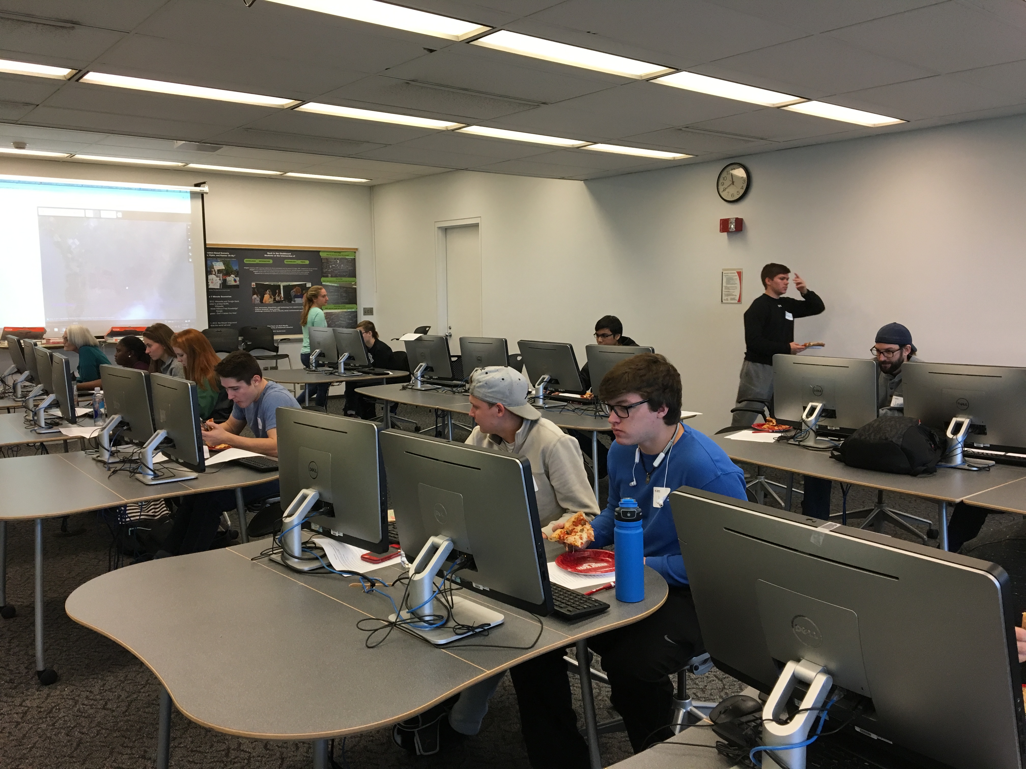
This summer in July, I was honored to be offered the opportunity to attend AAG-UIUC 2019 Summer School, which focused on Reproducible Problem Solving with Cyber GIS and Geospatial Data Science. During the one-week summer camp, I met many scholars, got access to the supercomputer Virtual Roger through CyberGIS-Jupter, learned the cutting-edge advances regarding geospatial data science, and got a deeper understanding about reproducibility and replicability. I absolutely had a wonderful time there, and this experience provoked me to think more about how we could develop novel solutions to complex problems.
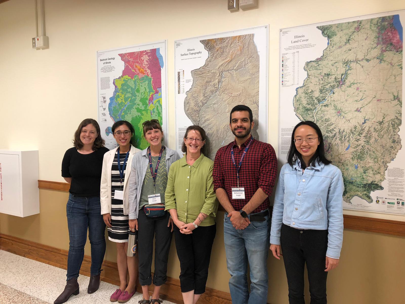
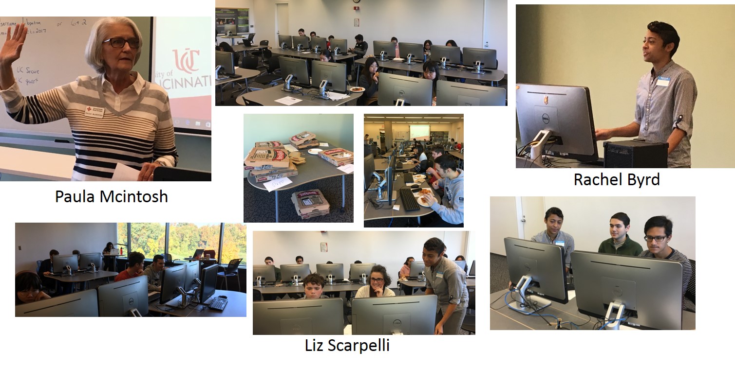
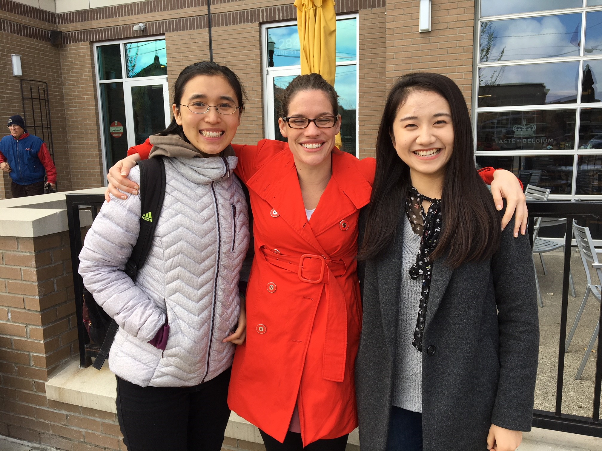
Participants in the AAG-UIUC summer school with mentor Diana Sinton (Ex Director of UCGIS in the green shirt) in the middle.